- November 13, 2024
Introduction
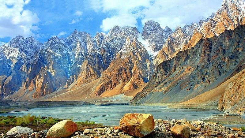
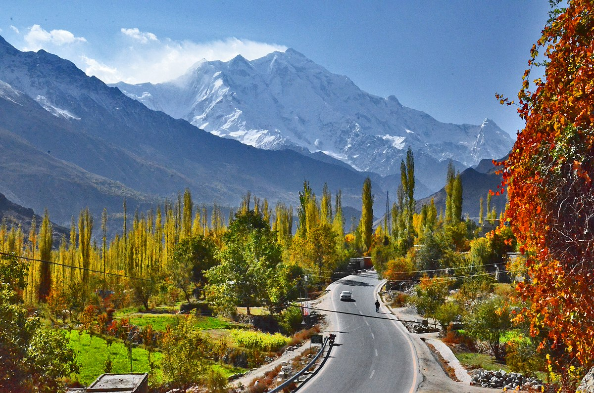
Tucked away in the northern regions of Pakistan, Kaghan Valley is a dream destination for nature lovers and adventure seekers. Surrounded by towering Himalayan peaks, lush green meadows, serene lakes, and glaciers, this valley is an unmissable spot for those exploring Pakistan’s natural wonders. Whether you’re trekking, boating, or simply soaking in the breathtaking scenery, Kaghan Valley offers an unforgettable experience.
History
Kaghan Valley has been a vital region for centuries, known for its rich history and cultural influences. Ancient traders and explorers once used the Kaghan routes to travel between Central Asia and South Asia. The valley is also deeply connected with folklore and myths, including the legendary tale of Saif-ul-Mulook, which adds to its mystical charm.
Cultural Heritage
The valley is home to diverse ethnic communities, including Gujjar and Kohistani tribes, who have preserved their unique traditions, languages, and crafts. Visitors can experience traditional music, dance, and vibrant local festivals. Handcrafted wool products, wooden carvings, and local honey and dry fruits are among the valley’s popular souvenirs.
Best Time to Visit
- Spring (April – June): Ideal for lush greenery, blooming flowers, and comfortable temperatures.
- Summer (July – September): Perfect for lake visits, trekking, and outdoor activities.
- Autumn (October – November): Offers golden landscapes with crisp air.
- Winter (December – March): Best for snow lovers and winter sports.
How to Reach Kaghan Valley
- From Islamabad:
- Route: Islamabad → Abbottabad → Mansehra → Balakot → Kaghan
- Distance: 250 km
- Travel Time: 6-7 hours by road
- Transport: Private cars, buses, and 4×4 Jeeps for rugged terrain.
Places to Visit in Kaghan Valley
1. Saif-ul-Malook Lake
One of the most famous lakes in Pakistan, known for its crystal-clear water and mythical tales.
- Location: 9 km from Naran, Mansehra District, Khyber Pakhtunkhwa.
- Nearby Places: Naran Bazaar (9 km), Ansoo Lake (12 km trek).
- Key Attractions: Majestic lake view, surrounding peaks, boat rides.
- Best Time to Visit: June to September.
- Activities to Do: Boating, photography, hiking.
- Cultural Significance: Linked to local legends about a prince and a fairy.
2. Lulusar Lake
A serene lake with breathtaking reflections of the surrounding mountains.
- Location: 48 km from Naran, en route to Babusar Top.
- Nearby Places: Babusar Top (20 km), Jalkhad (12 km).
- Key Attractions: Scenic beauty, peaceful ambiance, bird watching.
- Best Time to Visit: May to October.
- Activities to Do: Photography, sightseeing, picnicking.
- Cultural Significance: The lake’s name is derived from the Lulusar Mountains.
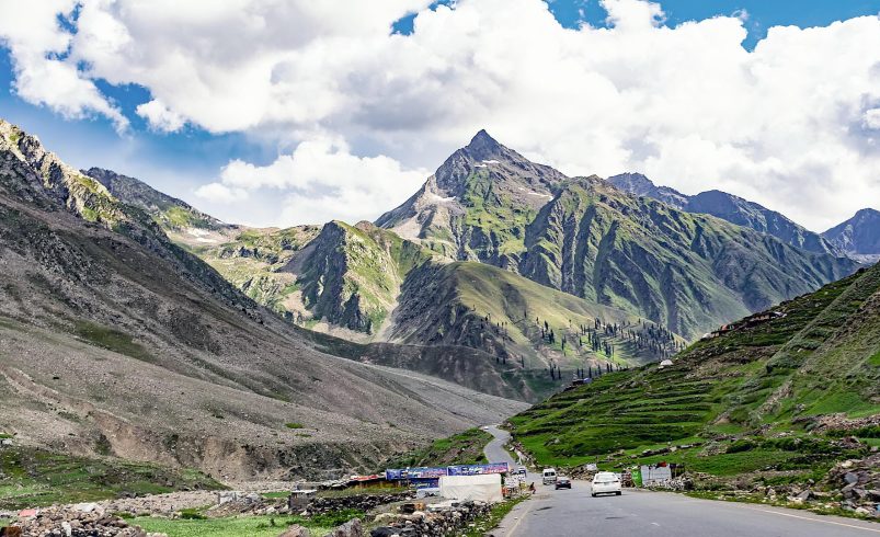
3. Babusar Top
A high-altitude pass offering panoramic views of the Karakoram Range.
- Location: 70 km from Naran, at 4,173 meters altitude.
- Nearby Places: Lulusar Lake (20 km), Fairy Meadows (110 km).
- Key Attractions: Snow-covered peaks, breathtaking views, cool climate.
- Best Time to Visit: June to September.
- Activities to Do: Photography, sightseeing, mountain exploration.
- Cultural Significance: Historic trade route connecting Kaghan Valley to Gilgit-Baltistan.
4. Shogran & Siri Paye Meadows
A scenic hill station known for its lush greenery and stunning landscapes.
- Location: 34 km from Balakot.
- Nearby Places: Makra Peak (6 km trek), Kiwai Waterfall (10 km).
- Key Attractions: Siri Lake, Paye Meadows, breathtaking views.
- Best Time to Visit: May to September.
- Activities to Do: Horse riding, hiking, camping.
- Cultural Significance: Local Gujar communities practice traditional herding here.
5. Dudipatsar Lake
A remote alpine lake with mesmerizing turquoise water.
- Location: 18 km trek from Besal.
- Nearby Places: Besal (18 km), Naran (42 km).
- Key Attractions: Unique blue water, untouched natural beauty.
- Best Time to Visit: July to September.
- Activities to Do: Trekking, photography, camping.
- Cultural Significance: Also known as the “Queen of Lakes”.
Activities to Do
- Hiking & Trekking – Explore various trails leading to scenic viewpoints
- Boating – Enjoy serene boat rides at Saif-ul-Malook and Lulusar Lake
- Camping – Set up camps in the lush meadows under starry skies
- Wildlife Spotting – Observe Himalayan ibex, snow leopards, and rare birds
Where to Stay
- PTDC Motels – Available in Naran and Kaghan
- Luxury Hotels – Pine Park Hotel, Arcadian Sprucewoods Resort
- Budget Hotels – Local guesthouses and lodges
What to Eat
- Trout Fish – A local delicacy from the Kunhar River
- Chapli Kebab – A flavorful minced meat dish
- Doodh Pati Chai – A must-try local tea
Estimated Costs (PKR)
- Accommodation: 5,000 – 20,000 per night
- Food: 500 – 3,000 per meal
- Transport: 3,000 – 10,000 per trip
Suggested Itinerary (From Islamabad)
Islamabad to Naran – Day 1
- Departure from Islamabad (6 AM)
- Breakfast at Mansehra (8 AM)
- Stopover at Balakot (10 AM)
- Reach Naran by 2 PM, check-in at hotel
- Visit Saif-ul-Malook Lake (4 PM), enjoy boating
- Return to Naran (7 PM), overnight stay
Explore Upper Kaghan Valley – Day 2
- Breakfast at Naran (8 AM)
- Depart for Lulusar Lake (10 AM)
- Visit Babusar Top (12 PM), enjoy breathtaking views
- Lunch at Jalkhad (2 PM)
- Visit Shogran (4 PM), explore Siri Paye meadows
- Return to Naran by 7 PM, overnight stay
Return to Islamabad – Day 3
- Breakfast at Naran (8 AM)
- Visit Dudipatsar Lake trek (optional)
- Depart for Islamabad (10 AM)
- Lunch at Mansehra (2 PM)
- Arrive in Islamabad by 6 PM
Nearby Places & Distance
- Shogran – 30 km from Naran
- Balakot – 70 km from Naran
- Ansoo Lake – 10 km from Saif-ul-Malook
Travel Packing Checklist
- Warm clothes
- Trekking gear
- First aid kit
- Power bank
- Torchlight
- Snacks
Emergency Contacts
- Rescue 1122
- Police Helpline 15
- Nearest Hospital: Naran Medical Center
Travel Tips
- Carry cash, as ATMs are limited.
- Check weather conditions before traveling.
- Hire local guides for remote areas.
FAQs
1. What is the best time to visit Kaghan Valley?
Undoubtedly, the best time to visit Kaghan Valley is between May and September. During these months, the weather remains pleasant, and the roads are accessible.
2. How can I reach Kaghan Valley from Islamabad?
To begin with, you can travel to Kaghan Valley via the Hazara Motorway. From Islamabad, drive towards Mansehra, then Balakot, and continue to Naran.
3. Are there any permits required to visit Kaghan Valley?
Fortunately, no special permits are required for domestic travelers. However, foreign tourists may need permission to visit certain areas near the border.
4. What are the top activities to do in Kaghan Valley?
Interestingly, Kaghan Valley offers a variety of activities such as trekking, boating, fishing, horse riding, and sightseeing.
5. What are the best places to stay in Kaghan Valley?
If you are wondering about accommodation, there are several options in Naran, Shogran, and Kaghan, including hotels, guesthouses, and campsites.
6. What kind of food is available in Kaghan Valley?
Moreover, the local cuisine includes Chapli Kebabs, Trout Fish, Daal Chawal, and various Pakistani dishes.
7. Is it safe to travel to Kaghan Valley?
Yes! Kaghan Valley is generally safe for tourists, but it is always advisable to check the weather and road conditions before traveling.
8. What should I pack for my trip to Kaghan Valley?
To ensure a comfortable trip, pack warm clothing, trekking shoes, rain gear, and necessary medicines.
9. Are there medical facilities available in Kaghan Valley?
While there are basic medical centers in Naran and Balakot, for serious emergencies, it is recommended to head back to Mansehra or Abbottabad.
10. Can I visit Kaghan Valley in winter?
Surprisingly, Kaghan Valley remains snow-covered in winter, making travel difficult. Most roads, including those to Babusar Pass and Lulusar Lake, are closed.
Conclusion
In conclusion, Kaghan Valley is a breathtaking travel destination offering glacial lakes, lush meadows, and adventure activities. Whether you’re a nature lover, trekker, or photographer, this valley promises an unforgettable experience. So, plan your trip, pack your bags, and explore the magical beauty of Kaghan Valley!