












Last checked: October 2026. Road status, permissions and security advice change, so confirm locally before you travel.
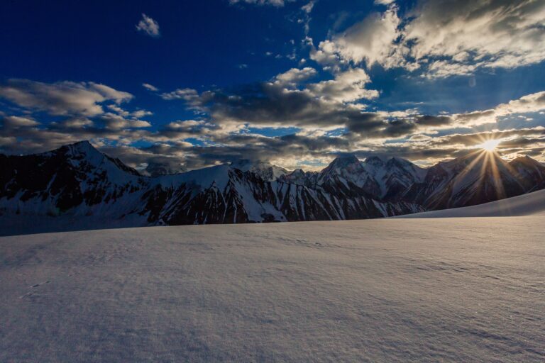
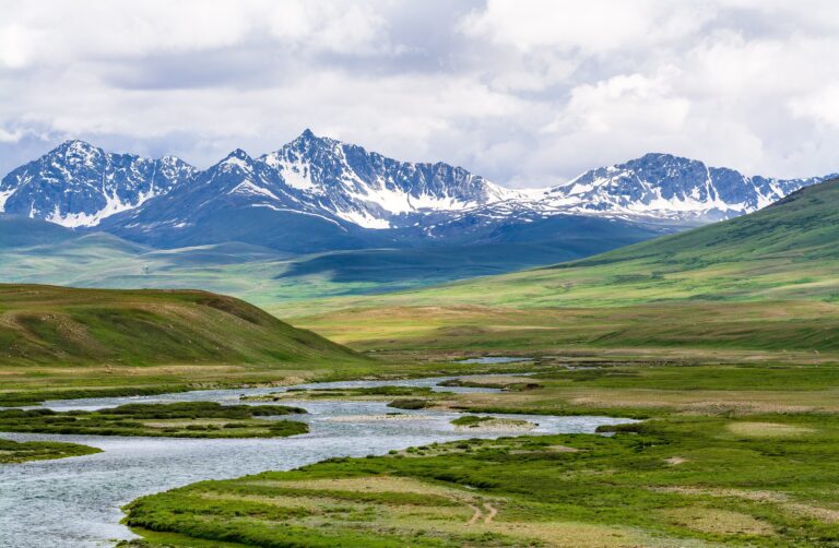
Ganga Choti is a peak in the Pir Panjal range in Bagh District, Azad Jammu and Kashmir, known for a steep hike, a high lake and mountain views. This Ganga Choti guide covers how to reach the trailhead, what the trek involves and what to check before you go.
Quick answer: what is Ganga Choti?
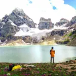
Ganga Choti is a peak at about 3,045 m (9,990 ft). The usual trek starts from Sudhan Gali or Kotla and takes about four hours up, described as strenuous because the ground climbs steadily with little flat walking. Ganga Lake, also called Ganga Sar, lies near the peak at about 2,940 m. Go in summer and with a local guide.
Ganga Choti quick facts
| Detail | Ganga Choti |
|---|---|
| Location | Bagh District, Azad Jammu and Kashmir |
| Elevation | About 3,045 m |
| Range | Pir Panjal |
| Trailheads | Sudhan Gali (about 4 km from the peak) and Kotla |
| Hike time | About 4 hours up, strenuous |
| Nearby | Ganga Lake; Pir Kanthi at about 4,264 m |
| Best months | June to September |
How to reach Ganga Choti
Nearest airport
Islamabad International Airport. See our airports guide.
Nearest railway station
Rawalpindi is the nearest rail hub; there is no railway in Azad Kashmir.
Road access
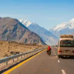
Drive from Islamabad towards Bagh, then to Sudhan Gali or Kotla. Roads can be steep and slow after rain. A 4×4 is useful in poor weather.
Best time to visit
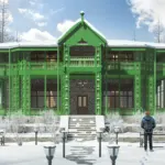
June to September has the most reliable weather. Snow covers high trails in winter and a winter event has been held in the area in some years, so check conditions.
The trek
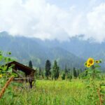
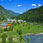
The hike gains height steadily, with views over valleys and meadows. Start early, carry water and wear sturdy shoes. Storms can arrive fast on high ridges, so turn back in poor weather. Pir Kanthi, a higher peak nearby, is a longer undertaking and has seen deaths in storms, so go only with an experienced guide.
Things to do
- Hike to the peak or to Ganga Lake.
- Camp in meadows near Sudhan Gali.
- Combine with Toli Pir. See our Toli Pir guide.
Where to stay and eat
Sudhan Gali has a few shops and hotels, and camping is common. Carry food and water for the hike. See our Bagh guide.
Estimated costs
Costs are mostly transport, a local guide and a night or two of lodging or camping. Ask for written quotes and see our travel cost guide.
Packing checklist
- Warm layers, rain jacket and trekking shoes
- Water, snacks, torch and offline maps
- First-aid kit and cash
Safety tips
Mountain weather changes quickly and roads can be steep and rough. Foreign visitors should confirm whether any permission is needed for the area before they travel.
Responsible tourism
- Take all rubbish with you and respect forests and farmland.
- Dress modestly and ask before photographing people.
- Hire local drivers and guides and buy from local shops.
Emergency contacts
- Police: 15
- Ask your host for the nearest medical facility and confirm numbers locally.
Attractions near Ganga Choti
Routes to Ganga Choti
Sources describe two main approaches: from Chikkar, and from the Bagh to Sudhan Gali road. Sudhan Gali is a small town with a few shops and hotels, about four kilometres from the peak by road, and the final climb is described as a steep uphill hike of roughly four to eight kilometres depending on the route and source. Off-road vehicles can shorten the journey. Ganga Choti lies in the Pir Panjal range at about 3,045 m, between Birpani and Sudhan Gali.
Winter and events
In some recent years the AJK Winter Sports Association has organised winter sports activities around Ganga Choti, so snow conditions and events can change access. Check with local authorities before a winter visit.
Ganga Choti FAQs
How high is Ganga Choti?
About 3,045 m (9,990 ft).
How long is the Ganga Choti trek?
About four hours up from Sudhan Gali or Kotla, and it is described as strenuous.
Where is Ganga Lake?
Near Ganga Choti in Bagh Valley, at about 2,940 m.
When should I go?
June to September.
Do I need a guide?
A local guide is strongly recommended, especially in uncertain weather.
Final thoughts on Ganga Choti
Ganga Choti rewards fit hikers with big views.
Traveler Notes
Public comments are closed on this guide. Have a tip, an update or a correction? Send it to us.