




Last checked: October 2026. Seasons, access and security advice change, so confirm with a local operator before you travel.
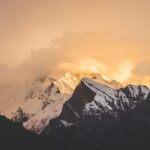
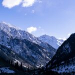
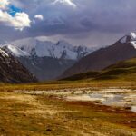
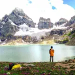
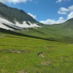
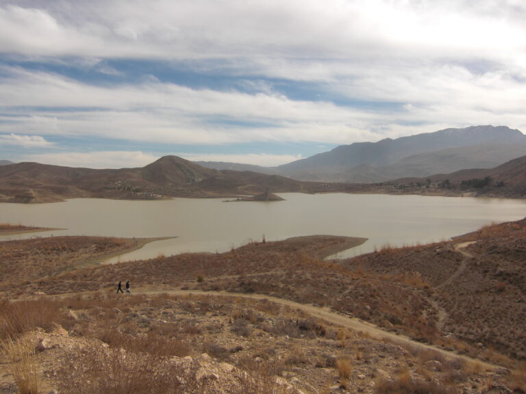
Overall, Batura Lake is one of the least-documented lakes in Pakistan, and honestly, that’s the whole story here. There’s no village nearby, no tourist infrastructure, and barely any information about it online. What it does have, though, is a striking setting. It sits right at the edge of Batura Glacier, framed by the Passu Cones.
Batura Lake travel guide: the honest picture
| Detail | Batura Lake |
|---|---|
| Location | Upper Hunza, near Passu village, Gilgit-Baltistan |
| Distance from Karimabad | Roughly 60 km |
| Distance from Islamabad | About 650 to 750 km by road |
| Camping | Not suitable |
Why so little is written about it
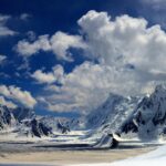
Batura Lake sits near the edge of Batura Glacier. That glacier is itself a genuine giant, roughly 57 km long and among the longest outside the polar regions. The lake’s edge is covered in glacial debris. The surrounding terrain simply doesn’t support the kind of visitor infrastructure that develops around better-known lakes like Attabad or Borith. No village sits nearby to host travelers, and camping here isn’t a realistic option.
How most people actually see it
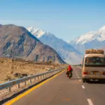
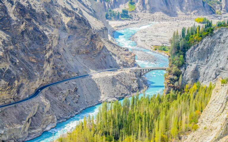
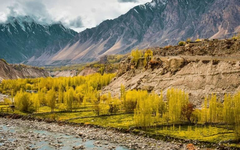
The lake is visible from the Karakoram Highway after passing Passu village. It’s framed by the Passu Cones, with the Batura Glacier’s peaks in the background. This is the realistic way to experience Batura Lake. It’s a striking roadside view, not a destination you plan a full stop around.
Batura Lake travel guide: practical tips
- Treat this as a highway viewpoint, not a planned stop. There’s little reason to build an itinerary around visiting Batura Lake specifically.
- Combine this with Passu and the Batura Glacier area. Our Borith Lake and Passu Cones guide covers the destinations in this stretch of the valley that do have real visitor infrastructure.
- Don’t expect facilities. No food, water, or accommodation exists at the lake itself.
- Photography works best from the highway. The framing against Passu Cones and Batura Glacier is the genuine highlight here.
Batura Glacier and the Passu area: key facts
- Batura Glacier. Reported at about 57 km long (some sources say about 60 km) and among the longest glaciers outside the polar regions. At its head stands Batura Sar, about 7,795 m. It can be seen from the Karakoram Highway near Passu.
- Passu Glacier. A shorter, more accessible glacier reported at about 20 km long, reached on foot along the moraine from Passu. The Passu Cones rise directly above the village.
- Hussaini Suspension Bridge. A rope-and-plank footbridge over the Hunza River built by locals in 1968. Some planks are widely spaced, so cross only if you are comfortable with heights and test each step.
- Borith Lake. A short uphill walk of about 2 km from Hussainabad. See our Borith Lake and Passu Cones guide.
- From Karimabad. Passu is reported at about 50 km and roughly 1.5 to 2 hours by road.
Batura Glacier trek: what operators describe
The Batura trek is a multi-day trip with a guide and camping, usually done between June and September. Operator itineraries describe stages from Passu towards Yunz (Yunzben) and Yashpirt, then on to Guchesham, a high shepherd settlement at roughly 3,400 m. Reported times are about 3 to 5 hours for the first stage and 3 to 6 hours for later stages, depending on the route, with the full trip taking two to four days or more. Routes involve moraine walking and glacier crossings, so go with an experienced local guide, acclimatise first and check whether any permit applies. Read our trekking permits guide and altitude sickness guide.
Times, distances and prices differ between operators, so treat the figures above as a guide only. The nearest reliable ATM is far to the south, so carry cash.
Frequently asked questions
Can I visit Batura Lake?
You can see it from the Karakoram Highway near Passu village. There’s no real visitor infrastructure, so most people experience it as a roadside view rather than a planned stop.
Can you camp at Batura Lake?
No, the site isn’t suitable for camping, and no facilities exist nearby.
How far is Batura Lake from Karimabad?
Roughly 60 km, along the Karakoram Highway past Passu village.
Why is there so little information about Batura Lake?
No village or tourist infrastructure has developed around it, unlike better-known lakes in the region such as Attabad or Borith.
What’s the best way to see Batura Lake?
From the Karakoram Highway, on your way through the Gojal region, with the Passu Cones and Batura Glacier peaks as a backdrop.
Estimated costs
Costs depend on transport, a guide and where you stay. Ask your operator or driver for a written quote and see our travel cost guide.
Safety tips
Stop only at safe pull-outs on the Karakoram Highway, watch for rockfall and fast traffic, and never walk onto glacier debris without a guide.
Responsible tourism
- Take all rubbish with you and respect local land and water sources.
- Ask before photographing people.
- Hire local guides and drivers and buy from local shops.
Emergency contacts
Police: 15. Ask your hotel or operator for the nearest medical facility, and confirm numbers locally before you travel.