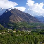
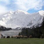
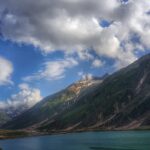
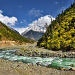
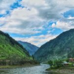
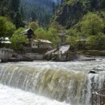
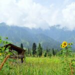
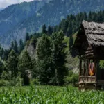
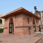
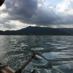
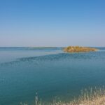
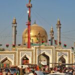
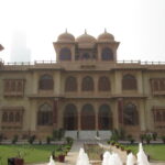
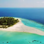
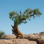
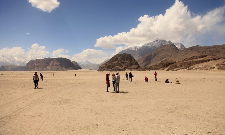
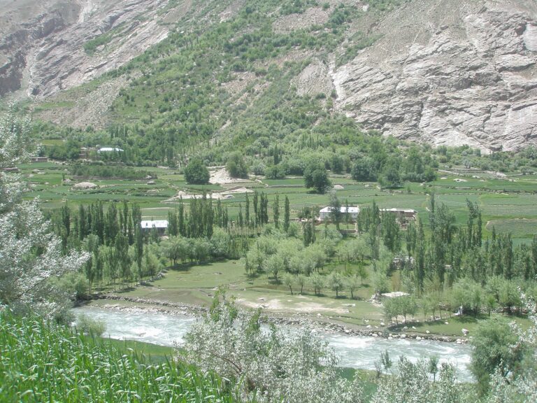
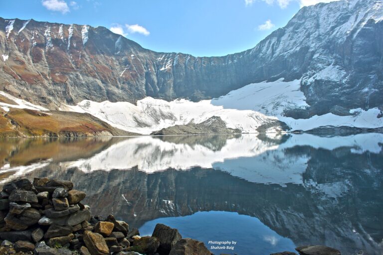

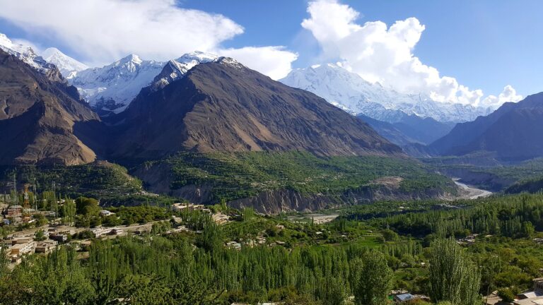
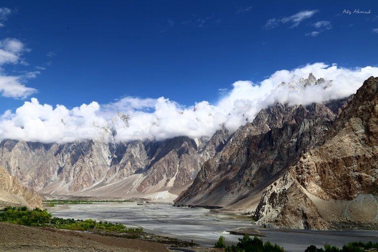
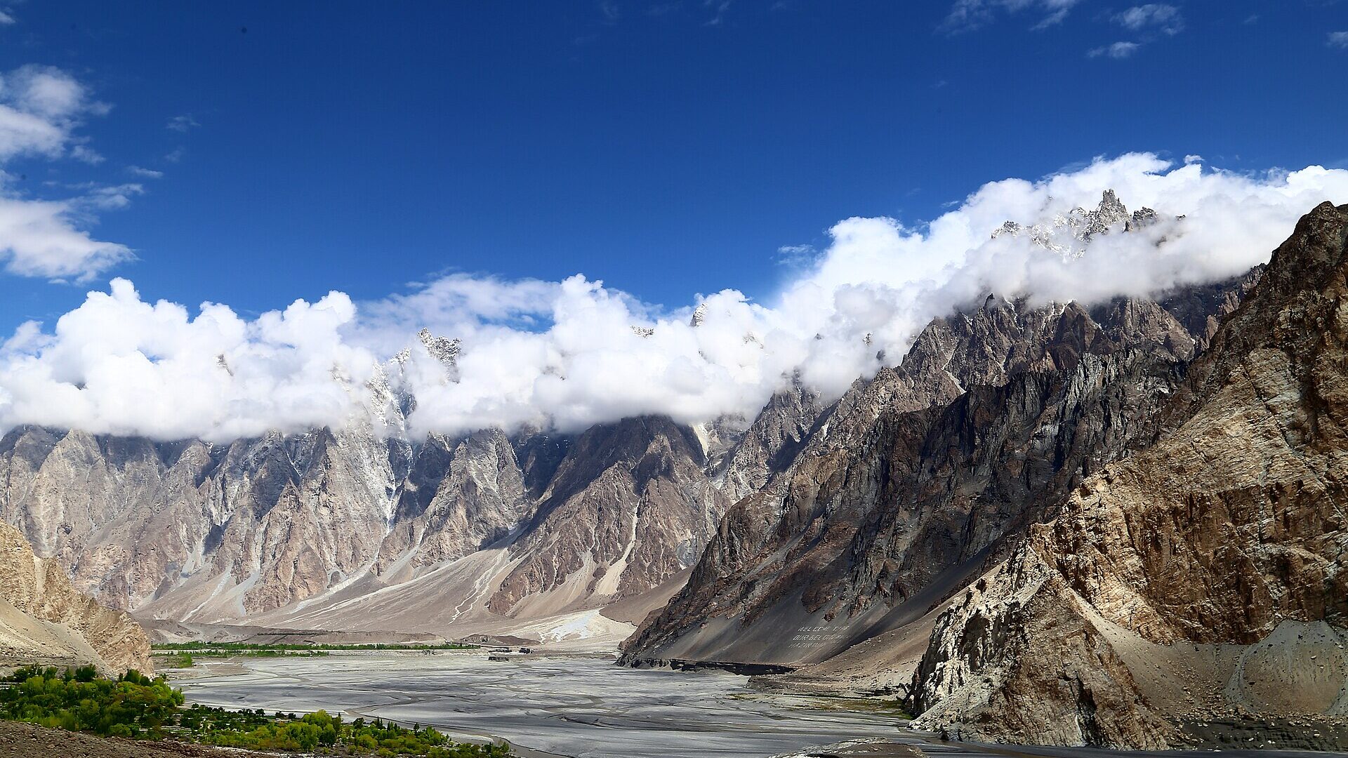
Pakistan packs an unusual range of subjects into one country: Karakoram peaks above 7,000 m, turquoise lakes, Mughal era monuments, desert dunes and a coast of sculpted rock. The best photography spots in Pakistan are spread across Gilgit-Baltistan, Khyber Pakhtunkhwa, Punjab, Sindh and Balochistan, so the right choice depends on the season, your fitness and how much road time you can accept.
This guide groups the best photography spots in Pakistan by region, explains when each area works best and covers the etiquette that keeps you and the people you photograph comfortable. Last checked: October 2026. Fees, permits, road access and drone rules change, so confirm them with official sources or locally before you travel.
Quick answer: the best photography spots in Pakistan
- First trip, mountains and lakes: Upper Hunza. Passu Cones, Attabad Lake, Borith Lake, Karimabad and Baltit Fort sit along or near the Karakoram Highway.
- High altitude plateau: Deosai National Park and Sheosar Lake near Skardu, usually reachable only in summer.
- Alpine scenery with a short trek: Fairy Meadows, for views toward Nanga Parbat.
- Heritage and street life: Lahore’s Badshahi Mosque, Lahore Fort and Walled City, plus Rohtas Fort near Jhelum.
- Culture, with strict etiquette: the Kalash valleys near Chitral.
- Coast and desert: the Makran Coastal Highway, Hingol National Park and the Thar desert.
Quick facts for photographers
| Detail | What to know |
|---|---|
| Regions covered | Gilgit-Baltistan, Khyber Pakhtunkhwa, Punjab, Sindh and Balochistan |
| Best overall regions | Upper Hunza and Skardu for mountains and lakes, Lahore for heritage |
| Best light | Sunrise, sunset and the golden hour around them |
| Languages | Urdu and English are widely understood on tourist routes; local languages such as Shina, Balti, Burushaski and Wakhi are spoken in Gilgit-Baltistan |
| Currency | Pakistani rupee (PKR). Carry cash for remote valleys, where ATMs can be scarce |
| Mobile coverage | Can be limited in remote valleys, so download offline maps before you leave |
| Access | Some areas need entry permits or fees. Deosai, for example, requires an entry permit at its checkposts |
| Etiquette | Ask before photographing people, especially women, and follow signs at mosques, shrines and sensitive sites |
Best photography spots in Pakistan by season
Season decides which of the best photography spots in Pakistan are even reachable. The table gives a starting point; for month by month detail see our guide to the best time to visit Pakistan.
| Season | Where it works | What to expect |
|---|---|---|
| Spring (March to April) | Hunza and other northern valleys | Cherry blossom is usually reported in March and April, with timing shifting by altitude and year. See best times to visit the Hunza Valley |
| Summer (June to September) | Deosai, Fairy Meadows, Skardu lakes, Khunjerab Pass when open | High altitude areas are most accessible. Gilgit-Baltistan’s tourism website recommends June to September for Deosai, and the Fairy Meadows visitor season runs from April to the end of September |
| Autumn (late September to November) | Hunza, Gojal and Skardu valleys | Golden foliage is commonly said to peak around October. See autumn destinations in Pakistan |
| Winter (December to February) | Lahore and other lowland heritage sites, coastal areas, Passu for snow views | Mountain roads can close. Khunjerab Pass is generally closed to all vehicles from about 30 December to 1 April, though dates move with snowfall |
How to reach the main photography regions
| Region | Common starting point | Notes |
|---|---|---|
| Hunza and Gojal | Gilgit, then north on the Karakoram Highway | Attabad Lake, Passu and Sost lie along the highway. See the Karakoram Highway road trip guide and the Islamabad to Gilgit road trip |
| Skardu and Deosai | Skardu, by road or domestic flight | From Skardu, the route to Deosai runs via Sadpara Lake and then along Deosai Road, a jeep track that takes about 2 to 3 hours. See domestic flights in Pakistan |
| Fairy Meadows | Raikot Bridge on the Karakoram Highway | A jeep road leads to Tato, followed by a hike. See the Fairy Meadows trek guide |
| Kalash valleys | Chitral | See the Kalash Valley guide |
| Lahore and Rohtas | Lahore, with Rohtas Fort in Jhelum | See Lahore Fort and Rohtas Fort |
| Makran coast | Karachi, then west on the N-10 highway | The highway runs 653 km from Karachi to Gwadar and takes about 6 to 7 hours end to end |
| Mohenjo-daro | Larkana | The site is about 28 km from Larkana city in Sindh |
Check flight schedules, road status and jeep arrangements with airlines, hotels and local operators close to your travel date.
Best photography spots in Pakistan by region
The spots below are grouped by region so you can plan a realistic route. Each one links to a fuller guide where we have written one.
Hunza and Gojal
Hunza is the most photographed part of Gilgit-Baltistan because several famous subjects sit close to one road, the Karakoram Highway. For the wider region, see our top places to visit in Hunza Valley and the Hunza travel guide.
Passu Cones
The jagged peaks above Passu village in Gojal are among the most recognisable images in Pakistan. The best known summit, Tupopdan (also called Passu Cathedral), is 6,106 m. The cones are visible from the Karakoram Highway, so no trek is needed. Gilgit-Baltistan’s tourism website recommends sunrise and sunset, and names Passu Glacier and Borith Lake as foreground options. Passu is roughly 20 km north of Attabad Lake. See Borith Lake and Passu Cones.
Attabad Lake
The lake formed after a landslide blocked the Hunza River on 4 January 2010. It flooded part of the Karakoram Highway, and a realigned section with five tunnels opened in September 2015. For photographers, the turquoise water reads strongest under a clear sky with the sun high, while early and late light suits the surrounding slopes. See the Attabad Lake guide.
Karimabad, Baltit Fort and Eagle’s Nest
Baltit Fort stands on a ridge above the Hunza River. Gilgit-Baltistan’s tourism website describes it as more than 700 years old, home to the Mirs of Hunza until 1945 and later restored by the Aga Khan Trust for Culture. The Eagle’s Nest viewpoint gives wide views over the valley, and sunsets from the fort are noted for Rakaposhi and Ultar Sar in the background. Avoid flash indoors. Read more in our guides to Karimabad, Baltit Fort and Altit Fort.
Rakaposhi from the highway
Rakaposhi (7,788 m) is visible from the Karakoram Highway through Nagar. A viewpoint known as Zero Point of Rakaposhi at Ghulmet is described as the closest place to see the mountain. If you want to go closer, see the Rakaposhi Base Camp trek.
Khunjerab Pass
At 4,693 m, Khunjerab is described as the highest paved international border crossing in the world, about 75 km from the customs post at Sost. The road is seasonal: heavy vehicles are generally barred from about 30 November to 1 May and all vehicles from about 30 December to 1 April, but dates shift with snowfall. Confirm the current status locally. See the Khunjerab National Park guide, the Khunjerab Pass guide and the Sost border guide.
Rush Lake and Batura Lake
Both need more planning than a roadside stop. Read the access notes in our Rush Lake guide and Batura Lake guide before you commit to either.
Skardu and Baltistan
Skardu is the base for high plateaus, lakes and fort towns. Start with our Skardu guide.
Deosai National Park and Sheosar Lake
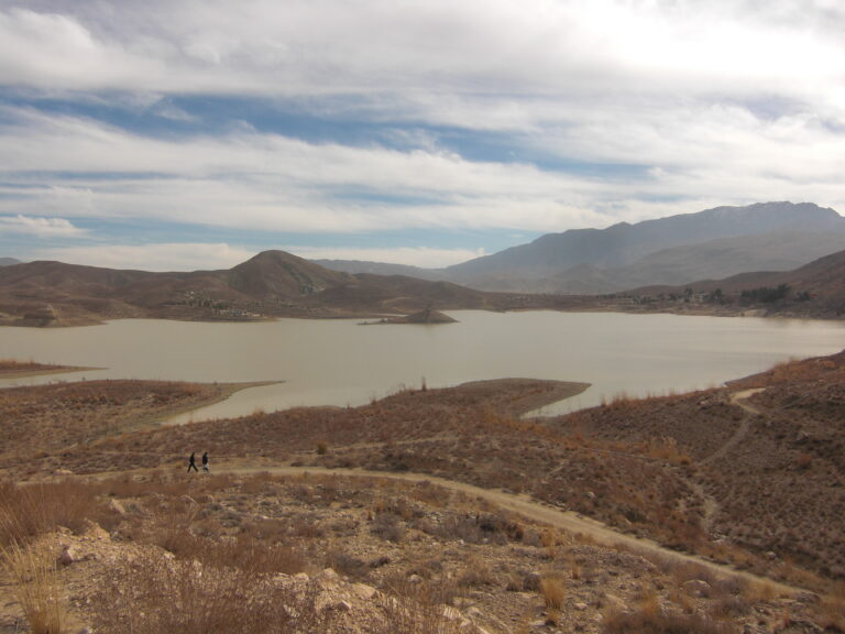
Gilgit-Baltistan’s tourism website gives Deosai an average elevation of 4,114 m, with Sheosar Lake at the same height, and recommends visiting from June to September because heavy snow makes the plateau inaccessible for most of the year. From Skardu the route passes Sadpara Lake and continues on Deosai Road, a jeep track; the Astore side enters through Chilum Checkpost. A 4×4 is recommended and an entry permit is required at the park checkposts. The park is also home to the Himalayan brown bear, so keep your distance and never feed wildlife. See the Deosai National Park guide and the Sheosar Lake guide.
Kachura lakes, Shangrila and Satpara Lake
These are the most accessible water subjects near Skardu. See Upper Kachura Lake, Shangrila Resort and Satpara Lake.
Khaplu and Basho
The Khaplu Valley and Basho Valley suit photographers who want village and valley scenes away from the main lake circuit.
Fairy Meadows and Nanga Parbat
Fairy Meadows sits at about 3,300 m in Diamer District. The route starts at Raikot Bridge on the Karakoram Highway. A roughly 15 km jeep road, open only to local drivers who carry visitors, leads to the village of Tato, and the hike from there takes about three to four hours over roughly 5 km. The meadows look toward Nanga Parbat. What many visitors take for the summit is the North Peak (7,816 m); the true summit (8,126 m) is hidden behind it. The visitor season runs from April to the end of September. See The Enchanting Fairy Meadows and the Fairy Meadows trek guide.
Kalash valleys near Chitral
The Kalash valleys are home to the Kalasha community, which has its own religion and festivals. A published code of ethics for visitors asks you to ask permission before photographing people, never to pay for photos, not to enter homes or temples or join festival dances without an invitation, to leave the women’s Bashali alone, and to stay off meadows reserved for animal fodder. Treat those points as the minimum standard. See the Kalash Valley guide and the Kalasha festivals calendar.
Lahore and Rohtas in Punjab
Badshahi Mosque and Lahore Fort
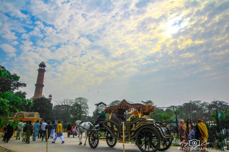
Aurangzeb commissioned the Badshahi Mosque in 1671, and it faces the Alamgiri Gate of Lahore Fort across Hazuri Bagh. It is an active place of worship, so plan around prayer times and keep a respectful distance from worshippers. Lahore Fort and the Shalamar Gardens were inscribed on the UNESCO World Heritage List in 1981, and Shah Jahan built the gardens in 1641 to 1642. See Badshahi Mosque and Lahore Fort, Lahore Fort, Shalamar Gardens and Wazir Khan Mosque.
Rohtas Fort
UNESCO inscribed Rohtas Fort in 1997. Sher Shah Suri began it in 1541, and it covers about 70 hectares with walls more than 4 km around, 68 bastions and 12 monumental gateways. That gives you gateways, bastions and stepped wells to shoot, though UNESCO also notes that parts of the wall have collapsed, so watch your footing. See the Rohtas Fort guide.
Sindh and Balochistan
Mohenjo-daro
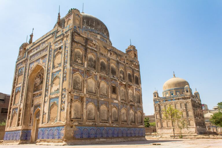
UNESCO inscribed the site in 1980. It lies in Larkana District, about 28 km from Larkana city, and preserves a planned city with streets at right angles, drains and public baths. See Mohenjo-daro and Makli Necropolis.
Makran Coastal Highway and Hingol
The N-10 runs 653 km from Karachi to Gwadar, and Hingol National Park lies along it. Check fuel and services before each long stretch. See the Makran Coastal Highway guide, Hingol National Park, Princess of Hope and mud volcanoes.
Thar and Cholistan
For desert subjects, see winter desert tourism in Thar and Cholistan and places to visit in Tharparkar.
Lesser known locations worth the extra effort
These places need more time on rough roads, so read the access notes in each guide first.
- Shimshal Valley in upper Hunza
- Hushe Valley in Ghanche District, Baltistan
- Naltar Valley near Gilgit
- Ratti Gali Lake in Azad Kashmir
- Kumrat Valley in Upper Dir
Photography spots in Pakistan by subject
| Subject | Strong options | Notes |
|---|---|---|
| Mountains | Passu Cones, Rakaposhi from the highway, Nanga Parbat from Fairy Meadows | Passu and Rakaposhi can be photographed from the road; Fairy Meadows needs a hike |
| Lakes | Attabad Lake, Borith Lake, Upper Kachura Lake, Sheosar Lake | Sheosar sits on the Deosai plateau, which is open mainly from June to September |
| Forts and heritage | Baltit Fort, Lahore Fort, Rohtas Fort, Mohenjo-daro | Respect signs and flash rules inside buildings |
| People and culture | Kalash valleys, Lahore’s Walled City | Always ask permission first |
| Coast and desert | Makran Coastal Highway, Hingol, Thar | Distances are long, so plan fuel and services |
Photography etiquette and sensitive locations
People
In conservative communities many people, especially women, prefer not to be photographed. Ask first, accept a refusal politely and never pay for or demand a portrait. Our guides to cultural etiquette in Pakistan and what to wear in Pakistan cover the wider customs.
Mosques and shrines
These are active places of worship. Dress modestly, follow posted signs, avoid photographing people while they pray and do not use flash.
Sensitive sites
Photography near military installations, checkpoints, border areas and some infrastructure can draw questions. We could not find a single official, tourist facing list of restricted subjects, so follow posted signs, ask an official before you photograph and accept a refusal politely. Never argue at a checkpoint.
Drones
We could not find a clear, current, tourist facing set of rules for recreational drones in Pakistan. Contact the Pakistan Civil Aviation Authority and the local authorities before you bring a drone, and do not assume it can be flown freely or that it will pass through customs without questions.
Where to stay
For sunrise and sunset shoots, a hotel close to the viewpoint saves hours. Compare options in our guides to the best hotels in Hunza, the best hotels in Skardu and affordable hotels in Pakistan. Ask about power supply and heating before you book, because both can be limited in remote valleys.
What to eat
Long shooting days run better with a plan for meals. Our food guides cover Hunza, Skardu and Lahore’s food streets, and the street food safety tips help if you eat from stalls.
Getting around
Photographers lose the best light to slow logistics, so decide early how you will travel. A private driver who is willing to wait for golden hour gives you the most flexibility. See our guides to hiring a guide in northern Pakistan, self driving in Pakistan, public transport and domestic flights.
Estimated costs
We have not listed prices because entry fees, jeep rates and hotel tariffs change often and we could not verify current figures. These are the line items photographers most often forget to budget for:
- Entry fees or checkpost permits, such as the Deosai entry permit
- Jeep hire for Deosai and Fairy Meadows
- A driver and vehicle for multiday routes
- Guides and porters if you add a trek
- Lodging close to sunrise and sunset viewpoints
- Spare batteries, memory cards and a power bank
- Travel insurance
For current figures, see our Pakistan travel cost guide, the trekking permits guide for Gilgit-Baltistan and the travel insurance guide. Confirm local rates with your hotel or operator.
Photography packing checklist
| Item | Why it matters |
|---|---|
| Camera body and a wide lens | For peaks, lakes and fort gateways |
| Telephoto lens | For distant summits and for wildlife seen from a safe distance |
| Spare batteries | Cold drains batteries faster |
| Extra memory cards and a backup drive | Remote areas offer few places to buy cards or back up files |
| Power bank and plug adapters | Power supply can be limited in remote valleys |
| Lens cloths and a rain cover | Dust, spray and changeable weather |
| Polarising filter | Reduces glare on lakes |
| Warm layers, hat and gloves | Mornings at altitude are cold even in summer |
| Offline maps and copies of documents | Mobile coverage can be limited |
For clothing and general gear, see the northern Pakistan packing list.
Travel tips
- Shoot at sunrise and sunset and use the middle of the day for travel, forts and museums.
- Build spare days into every northern itinerary, because weather and road conditions can change plans.
- Back up your images every night.
- Carry enough cash before leaving larger towns.
- Learn a few words of Urdu. Our common Urdu phrases for travelers is a good start.
- Check road status locally before each long drive.
Safety tips
- Acclimatise before high places such as Deosai (4,114 m) and Khunjerab Pass (4,693 m). See the altitude sickness guide.
- Keep well back from cliff edges, riverbanks and glacier surfaces when framing a shot.
- Keep a safe distance from wildlife, including bears in Deosai.
- Tell someone your route before you leave mobile coverage. Solo travellers can read our safety tips for solo travelers.
- Fill up on fuel and cash before long stretches such as the Makran coast.
Responsible tourism
- Carry your litter out, especially at lakes and meadows.
- Stay on paths and keep off meadows that local people use for animal fodder.
- Hire local drivers, guides and hotels where you can.
- Do not pay for or demand portraits.
- Respect closures and restrictions at heritage sites.
Emergency contacts
Rescue 1122 is the emergency number for ambulance and rescue services in Punjab, Khyber Pakhtunkhwa, Gilgit-Baltistan, Azad Kashmir and Islamabad, and similar services operate in Sindh and parts of Balochistan. Coverage and response times vary by area, so confirm locally. Save your hotel and driver numbers before you leave coverage.
Possible itinerary: five photography days in Upper Hunza
This plan is built around light rather than distance. We have left out drive times because they depend on road conditions; check the Karakoram Highway road trip guide before you finalise timings.
- Day 1, Karimabad: Visit Baltit Fort in the middle of the day, when you can shoot indoors without flash, then climb to Eagle’s Nest for sunset.
- Day 2, Altit and Rakaposhi: Spend the morning at Altit Fort. In the afternoon, visit the Rakaposhi viewpoint at Ghulmet if time and road conditions allow.
- Day 3, Attabad and Passu: Photograph Attabad Lake in the morning, then continue north to Passu for golden hour at the Passu Cones.
- Day 4, Passu: Rise early for sunrise at the Passu Cones or Borith Lake, then use the daylight hours for Passu Glacier and an editing break.
- Day 5, Khunjerab or a spare day: If the road is open, make an early start for Khunjerab Pass, about 75 km from Sost. If not, keep the day free for weather or any shot you missed.
For longer plans, see the 3 day Hunza itinerary, the 7 day Hunza and Skardu itinerary and the first time Pakistan itinerary.
FAQs about the best photography spots in Pakistan
What are the best photography spots in Pakistan for beginners?
Start with places you can shoot from the road or with little walking: Passu Cones, Attabad Lake and Baltit Fort in Hunza, and Badshahi Mosque and Lahore Fort in Lahore. Fairy Meadows, Deosai and Rohtas Fort need more effort or planning.
When is the best time to visit the best photography spots in Pakistan?
It depends on the region. Spring and autumn suit blossom and foliage in the northern valleys, June to September suits high places such as Deosai, and winter suits lowland heritage sites when mountain roads close. The season table above gives the detail.
Do I need permission to take photographs in Pakistan?
We could not verify a single published rule for tourists. In practice, ask before photographing people, follow signs at mosques, shrines and sensitive sites, and ask an official if you are unsure. Deosai also requires an entry permit at its checkposts.
Can I fly a drone at photography spots in Pakistan?
We could not find a clear, current rule set for tourists. Contact the Pakistan Civil Aviation Authority and the local authorities before you travel, and do not assume you can fly freely.
Is Deosai open all year for photography?
No. Gilgit-Baltistan’s tourism website recommends June to September and says heavy snow makes the plateau inaccessible for most of the year. It also recommends a 4×4.
Can I photograph the Kalash people?
Only with permission. A published code of ethics for visitors asks you to ask first, never pay for photos and not to enter homes, temples or festival dances without an invitation.
Which of the best photography spots in Pakistan suit non-hikers?
Passu Cones and Rakaposhi can be photographed from the Karakoram Highway, and Attabad Lake, Baltit Fort, Badshahi Mosque and Lahore Fort need little or no hiking.
Choosing among the best photography spots in Pakistan
Pick one region per trip rather than trying to cover the whole country. Upper Hunza gives the most variety along one road, Skardu and Deosai suit summer trips, Lahore and Rohtas work when the mountains are closed, and the Kalash valleys reward travelers who put etiquette first. Whichever you choose, confirm road status, permits and any drone rules before you go, and ask before you photograph people.
Sources
Figures from encyclopedic sources can differ between references, so confirm anything critical to your plans with an official source.