
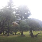

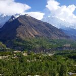
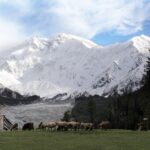
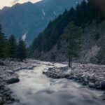
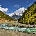
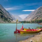
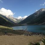
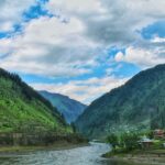
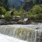
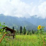
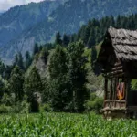
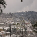
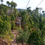









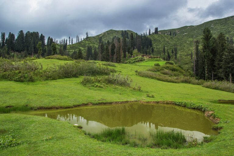
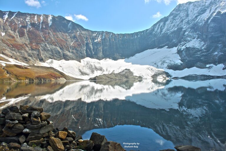


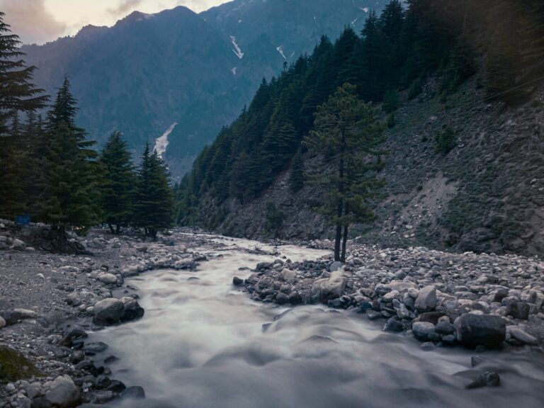
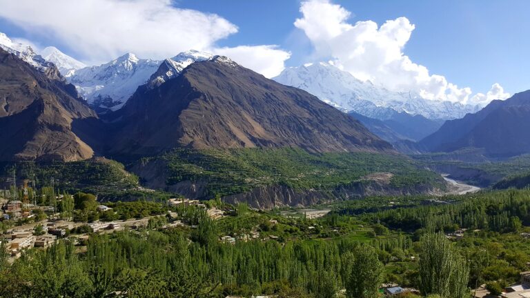
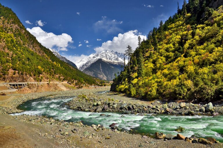
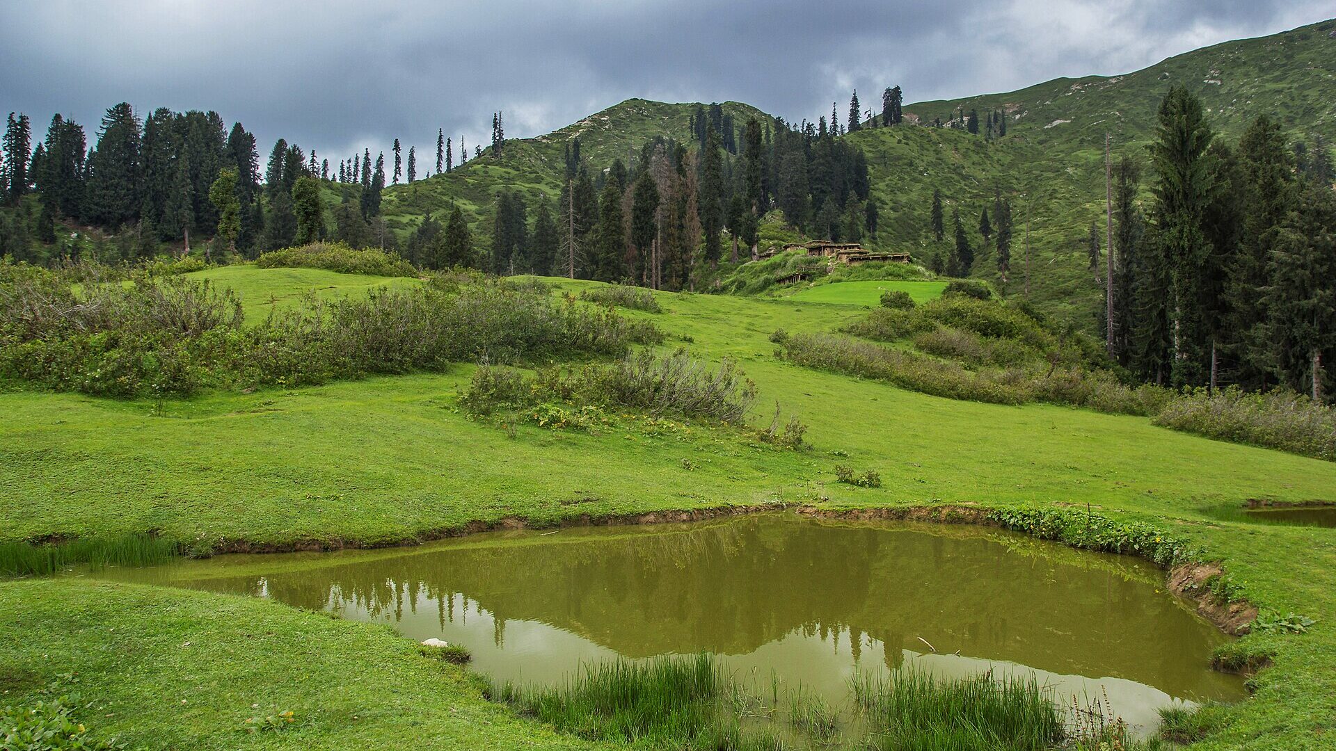
Siran Valley is a quiet mountain valley in Mansehra District, Khyber Pakhtunkhwa, at about 2,500 m. It is known for alpine meadows, forests of deodar, blue pine, oak and fir, and peaks such as Musa ka Musalla and Churko. It is far less commercial than Naran or Swat, which is exactly why hikers like it.
This guide explains what Siran Valley offers, what the Munro Trail is, and how it relates to nearby Sharan Forest. Last checked: October 2026. We could not find a reliable source for road distances or transport times to Siran, so we have left those out rather than guess. Confirm access, road conditions and security locally before you travel.
Quick answer: what to know about Siran Valley
- Where: Pakhli region, Mansehra District, Khyber Pakhtunkhwa.
- Elevation: about 2,500 m.
- Best for: hiking, camping on alpine meadows (galis), forest and bird watching.
- Character: quieter and less commercial than other northern destinations, with limited facilities.
Siran Valley at a glance
| Detail | What to know |
|---|---|
| District | Mansehra, Khyber Pakhtunkhwa |
| River | Siran River, which starts at the Mandagucha Glacier and joins the Indus near Tarbela Dam |
| Elevation | About 2,500 m |
| Main peaks | Churko (4,265 m), Musa ka Musalla (4,100 m), Khanda Peak, Sohni Sar, Maliki Top |
| Famous trail | Munro Hiking Trail, 66 km, Siran to Kaghan |
Figures in the table are approximate.
What to see and do in Siran Valley
Alpine meadows and camping
The valley’s alpine meadows, called galis, are used for camping. These are the main reason to visit. Expect basic conditions, so carry tents, food and warm clothing, and arrange a local guide.
Peaks and day hikes
Churko, Musa ka Musalla, Khanda Peak, Sohni Sar and Maliki Top are the best known high points. Distances and routes to each differ, so ask a local guide which are realistic in a day.
Forests and wildlife
Forests of deodar, blue pine, oak and fir cover the slopes. Himalayan monal and golden eagle are among the wildlife, so bring binoculars if you enjoy bird watching.
The Munro Hiking Trail
This 66 km route links the Siran and Kaghan valleys, running from Kund Bangla to Kamal Ban in Naran Valley, with historic rest houses such as Shaheed Pani. It is a multiday trek, so it needs planning, a guide and good fitness.
Sharan Forest: a neighbouring forest on the Kaghan side
Sharan Forest is often grouped with Siran in travel talk, but it is on the lower Kaghan side, reached from Paras rather than from Siran. A Zameen travel article describes it at around 2,400 m. The drive runs from Islamabad to Balakot, then to Paras, then the final stretch needs a four wheel drive jeep on a rugged track. VisitSilkRoad describes the last leg as a 16 km jeep track from Paras.
- Activities: hiking to Manshi Top, walking to Sharan Waterfall, forest trails and photography.
- Stay: resorts, a youth hostel and camping or glamping pods, reported to fill quickly from June to August and on long weekends.
- Best months: May to September, with muddy tracks in the July and August monsoon.
- Facilities: no banks or ATMs and no regular mobile network, with mainly solar electricity, so carry cash, a power bank and a torch.
If you are heading up the Kaghan side, our lakes in Naran Kaghan guide and Naran Kaghan family guide help you plan the rest of the trip.
Best time to visit Siran Valley
We could not find a reliable seasonal guide specific to Siran. As a general rule for this part of Hazara, summer from May to September is the practical hiking window, and winter brings snow and cold. Check conditions locally before committing to a camping trip.
Practical tips
- Hire a local guide for meadows, peaks and especially the Munro Trail.
- Carry cash, food and a power bank, since facilities are limited.
- Pack warm layers even in summer, as altitude and evenings are cold.
- Tell your hotel or family your route before you start trekking.
- See our wider Mansehra guide and the hiking guide to Naran and Kaghan.
Frequently asked questions
Where is Siran Valley?
In Mansehra District, Khyber Pakhtunkhwa, in the Pakhli region.
What is the Munro Trail?
A 66 km hiking route between the Siran and Kaghan valleys, from Kund Bangla to Kamal Ban in Naran Valley.
Is Sharan Forest in Siran Valley?
No. It is on the lower Kaghan side and is reached from Paras by jeep.
What is the best time to visit Siran Valley?
We could not find a reliable seasonal source. Summer is the likely window, but confirm locally.
Is Siran Valley suitable for families?
It is quiet and basic, so it suits families who are comfortable with simple facilities and camping.
Access, facilities and security conditions change. Confirm them locally before you travel.