- September 25, 2026
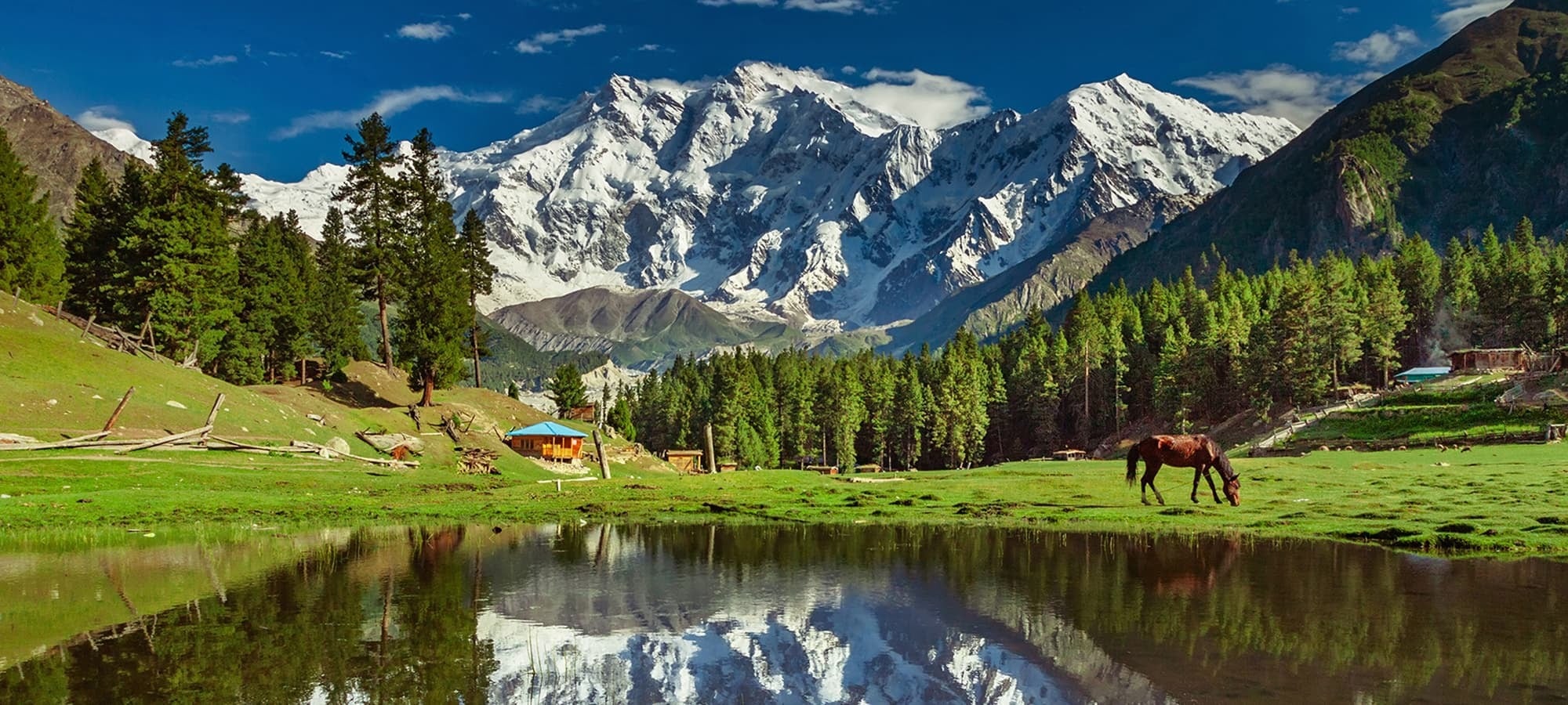
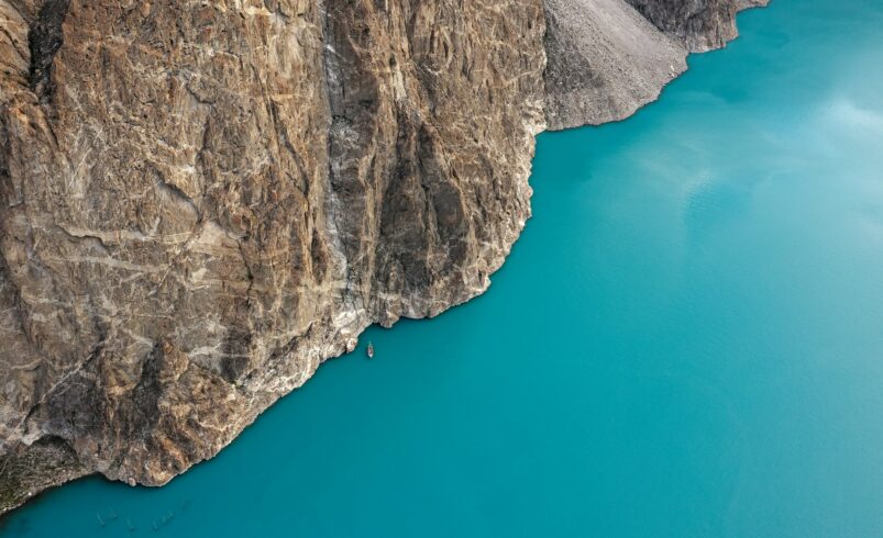
Gojal Valley is what locals call Upper Hunza. It’s the stretch beyond Attabad Lake where the Karakoram Highway threads through Wakhi villages toward the Chinese border. It’s a genuinely different community from Karimabad’s Hunza, with its own language, culture, and rhythm.
Gojal Valley travel guide: what makes it different from Hunza proper
The Wakhi people of Gojal are culturally and linguistically distinct from the Burusho community around Karimabad. Locals divide the region into four sub-areas. Gojal 1 covers Ayeenabad, Shishkat, Gulmit, Ghulkin, and Passu. Gojal 2 covers Sost, Misgar, and surrounding villages. Gojal 3 is Shimshal, and Gojal 4 covers remote settlements further north. For a visitor, what matters most is the string of villages along the highway: Gulmit, Ghulkin, Passu, and Sost.
Gulmit: the administrative heart of Gojal
Gulmit serves as Upper Hunza’s capital and makes a quieter alternative base to Karimabad. Hike up to Ongra Fort for views over Gulmit, Shishkat, and Attabad Lake. It’s especially striking at sunset, when lights come on along the lake. Gulmit Lake itself is a smaller, peaceful spot worth a short visit.
Passu and Sost: the road’s final stretch
Passu is the last major tourist settlement before Sost. It’s home to the Passu Cones, jagged peaks nicknamed the “Teeth of the World.” For the specific attractions here, our Borith Lake and Passu Cones guide covers the details.
Sost is the last Pakistani town before the Chinese border. It’s home to customs, immigration, and a dry port for cross-border trade. It’s a practical stop rather than a scenic destination. Most travelers use it as a staging point for Khunjerab Pass or onward travel into Chapursan Valley.
Reaching Khunjerab Pass from Gojal
Khunjerab Pass sits at 4,693 meters, the highest paved international border crossing anywhere. From Sost, it’s a manageable day trip. The route passes through Khunjerab National Park, home to snow leopards, ibex, and Marco Polo sheep. The pass typically stays open from May through December, closing in deep winter.
Side valleys accessible from Gojal
Gojal is also the launch point for some of Gilgit-Baltistan’s more remote valleys.
- Shimshal: the jeep road splits off just past Passu. For the full picture, see our Shimshal Valley guide.
- Chapursan Valley: reached from Sost, a quieter, less-visited stretch near the Afghan border.
- Misgar: a small village in the Gojal 2 sub-region, worth combining with a Khunjerab or Chapursan trip.
Gojal Valley travel guide: practical logistics
- Distance: roughly 170 km from Gilgit to Sost along the Karakoram Highway.
- Mobile coverage: reliable in Karimabad and Gilgit, but patchy to absent once you’re past Attabad Lake.
- Cash: ATMs exist in Gilgit and Karimabad but are unreliable further north. Carry enough cash before heading past Attabad.
- Best season: April-May for cherry and apricot blossom, June-September for general visiting, October for golden poplars and harvest.
Pair this with our Hunza Valley travel guide for the Karimabad side of the valley. Also useful: our altitude sickness guide, before heading up to Khunjerab.
Frequently asked questions
What’s the difference between Hunza and Gojal Valley?
Hunza generally refers to the Karimabad area, home to the Burusho community. Gojal is Upper Hunza, beyond Attabad Lake, home to the culturally and linguistically distinct Wakhi community.
How do I get to Gojal Valley?
By road along the Karakoram Highway, roughly 170 km from Gilgit to Sost, passing through Gulmit and Passu along the way.
Is there mobile signal in Gojal Valley?
Coverage is reliable in Karimabad and Gilgit. It becomes patchy or absent, though, once you’re past Attabad Lake, so plan communications accordingly.
Can I visit Khunjerab Pass from Gojal?
Yes, it’s a manageable day trip from Sost. The pass is typically open May through December, closed in deep winter.
What villages should I prioritize in Gojal Valley?
Gulmit for a quieter base and Ongra Fort views, and Passu for the Cones and glacier access. Sost is mainly a practical stop rather than a destination in itself.