

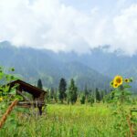
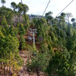



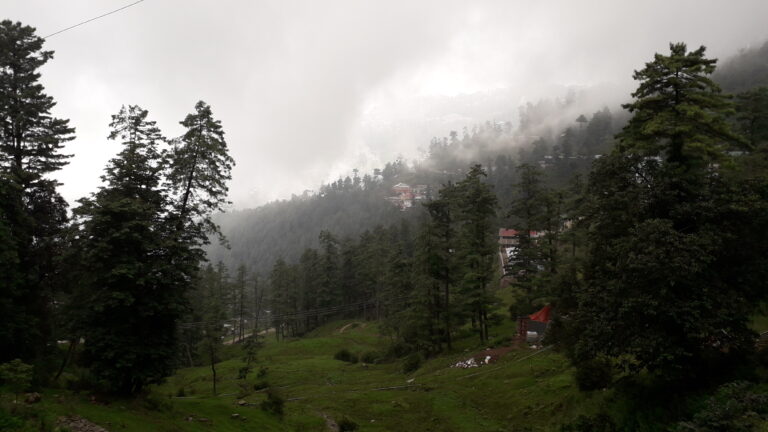

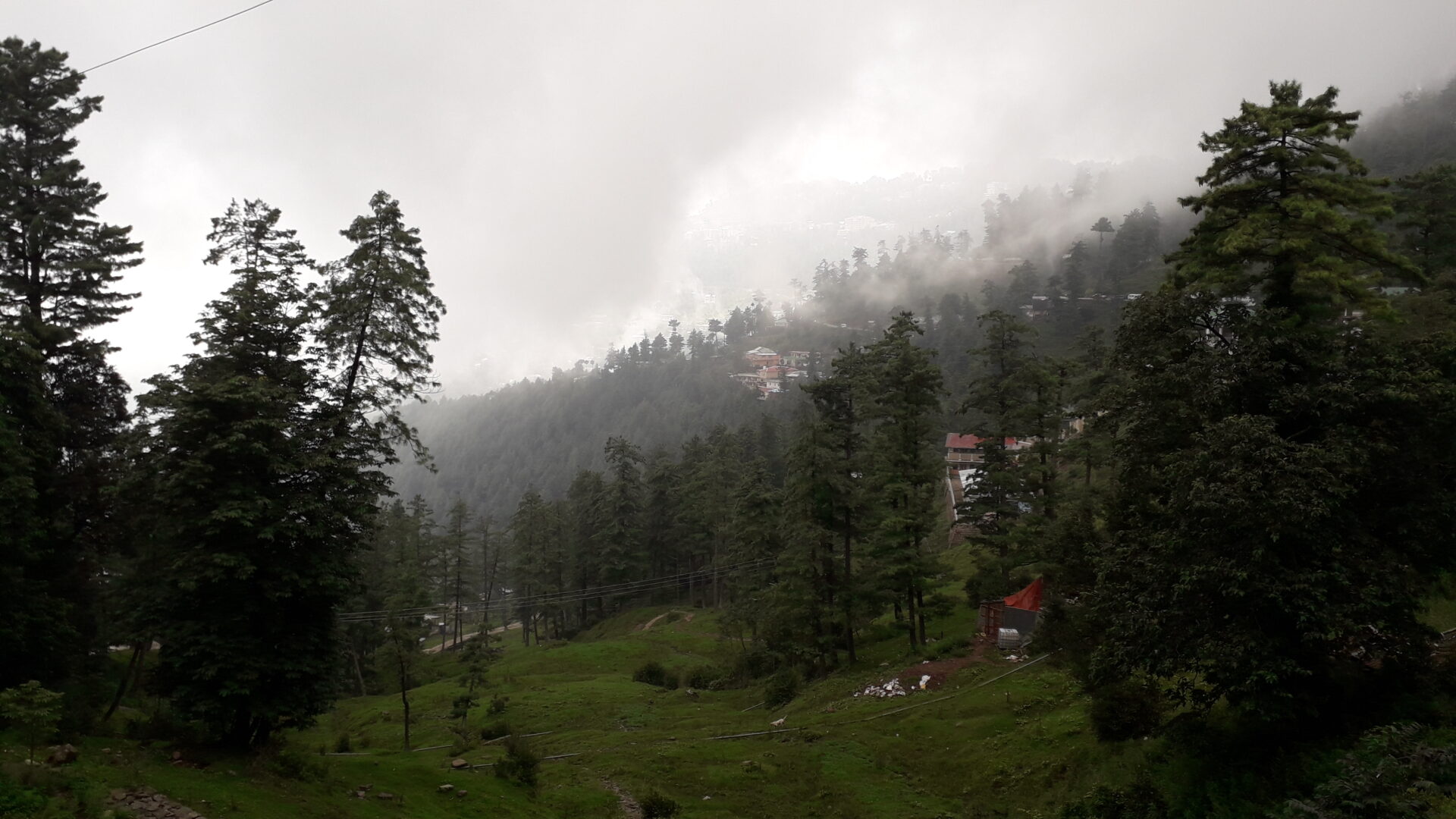
Nathia Gali is a pine-forest hill station in the Galiyat hills of Abbottabad District, Khyber Pakhtunkhwa. It sits higher and is usually quieter than Murree, and it is the usual base for walks to Mushkpuri Top, Miranjani and Ayubia National Park. This guide covers how to get there, what to see, and how to plan a family trip. Last checked: October 2026.
Quick answer
Plan a one- or two-night stay. Reach it by road from Islamabad or Rawalpindi through Murree, or from Abbottabad. Spend one day on the town, the bazaar and a short forest walk, and a second on a hike such as Mushkpuri Top or Miranjani. Summer is cool, winter is cold with possible snow, and road conditions matter in the cold months.
Nathia Gali at a glance
| Detail | What to know |
|---|---|
| Where | Abbottabad District, Khyber Pakhtunkhwa, in the Galiyat hills |
| Elevation | About 2,410 m |
| Distance | About 32 km from both Murree and Abbottabad |
| From Islamabad | Our guides give roughly 75 to 90 km, about 2 to 3 hours depending on route and traffic |
| Airport and rail | None. Fly to Islamabad and continue by road |
| Language | Hindko is the main local language, with Urdu widely understood |
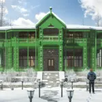
During British rule the town was the summer headquarters of the Chief Commissioner of the Peshawar division, which explains the colonial-era buildings and church.
How to get to Nathia Gali
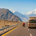
- By car from Islamabad or Rawalpindi: Take the Murree road and continue along the Galiyat road. Our Murree vs Nathia Gali guide says the stretch beyond Murree adds roughly 30 to 45 minutes on a more winding road.
- From Abbottabad: The two are connected by road, about 32 km apart.
- By public transport: Services run daily from Abbottabad and Rawalpindi, but it gives no operators, fares or timetable, so ask locally.
- In winter: Heavy snow may occasionally block the road in December and January. Check conditions the day before and carry chains if you drive.
Fill your fuel tank before the hills, and note that our Miranjani guide reports ATMs and fuel in Nathia Gali and Abbottabad.
Places to visit in and around Nathia Gali
Nathia Gali bazaar
The small market sells local shawls, scarves, embroidered fabrics, woodwork and handmade jewellery. It is also where most visitors find food, taxis and hikers’ supplies.
St. Matthew’s Church
A wooden church from the British period stands on the mountain edge, with a view toward Kashmir. Check access and opening before you go.
Mushkpuri Top
This is the most popular hike. Our guide gives the summit at about 2,800 m, and the shortest route from Dunga Gali takes about an hour to climb. Read our Mushkpuri Top guide for routes.
Miranjani
The highest peak of the Galyat region, at about 2,992 m, sits above Nathia Gali. Our Miranjani guide gives about 4.7 km each way with roughly 600 m of climb, and 1 hour 15 minutes to 3 hours depending on fitness.
Ayubia National Park and Dunga Gali
Ayubia is a compact forest park between Murree and Nathia Gali. It is known for the roughly 4 km Pipeline Track between Dunga Gali and Ayubia, which most walkers finish in 40 to 50 minutes. A Dunga Gali wildlife museum with a stuffed leopard nicknamed the Ghost of Galyat. See our Ayubia National Park guide.
Thandiani trek
Nathia Gali is known for a trek to Thandiani via Dagri Naka. Treat this as a longer outing and ask a local guide about the route and conditions. Our Thandiani guide covers the destination itself.
When to go
Treat these seasonal ranges as approximate: summer days of about 22 to 25°C and nights of 13 to 16°C, rain almost every day in the monsoon from July to mid-September, and winter days of 6 to 9°C with nights down to about −4°C. For a month-by-month view and snow timing, read our best time to visit Murree and Nathia Gali guide.
Family tips
- Choose easy walks first. The Pipeline Track is about 4 km and takes most people 40 to 50 minutes one way, which suits families. Save Mushkpuri and Miranjani for older children and fit walkers.
- Plan for car sickness. The Galiyat road is winding, so travel with water, snacks and spare clothes, and take breaks.
- Know where medical help is. Our Galiyat guide says hospitals in Abbottabad and Murree are within about an hour’s drive. Carry any regular medicines with you.
- Dress in layers. Temperatures change quickly at this altitude, and rain is common in summer. Bring waterproofs and shoes with grip.
- Book ahead in peak season. Nathia Gali has a smaller choice of hotels than Murree, mostly around the main market, so reserve weekends and holidays early.
Our family-friendly destinations guide compares other options.
Where to stay and eat
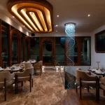
Our Miranjani guide says Nathia Gali has hotels and guesthouses at several price levels, and Abbottabad offers more choice. Our Ayubia guide mentions a PTDC motel in the area. We could not confirm current rates, so ask for a written quote and check what is open outside summer.
Sample two-day plan
- Day 1: Drive from Islamabad, check in, walk the bazaar and the church, and take an easy forest walk before sunset.
- Day 2: Hike Mushkpuri Top from the Dunga Gali side or walk the Pipeline Track, have lunch in Dunga Gali, then drive back before dark.
For a longer loop through the hills, see our Galiyat guide.
Frequently asked questions
Where is Nathia Gali?
It is in Abbottabad District, Khyber Pakhtunkhwa, about 32 km from both Murree and Abbottabad.
How far is Nathia Gali from Islamabad?
Our guides give roughly 75 to 90 km depending on the route and starting point. Allow about 2 to 3 hours by road.
Is Nathia Gali better than Murree?
It is quieter and greener, with easier access to hikes, while Murree has more hotels, food and shopping. Read our Murree vs Nathia Gali comparison.
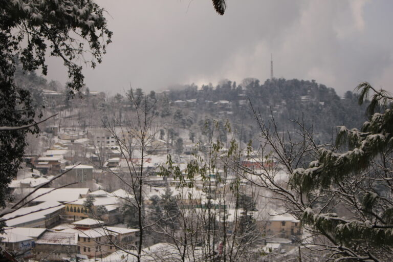
Does Nathia Gali get snow?
Yes, though heavy snowfall now falls mostly in February, with older sources pointing to December and January. Dates vary each year.
Is Nathia Gali good for families?
Yes, with easy walks and a cool summer climate, as long as you plan for winding roads and book rooms early.
Roads, rates and opening times change. Confirm current conditions locally before you travel.