
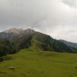
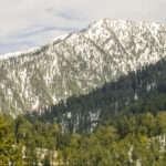
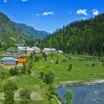
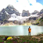
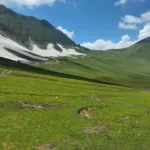
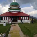







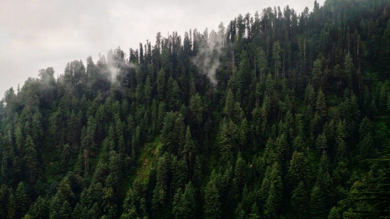

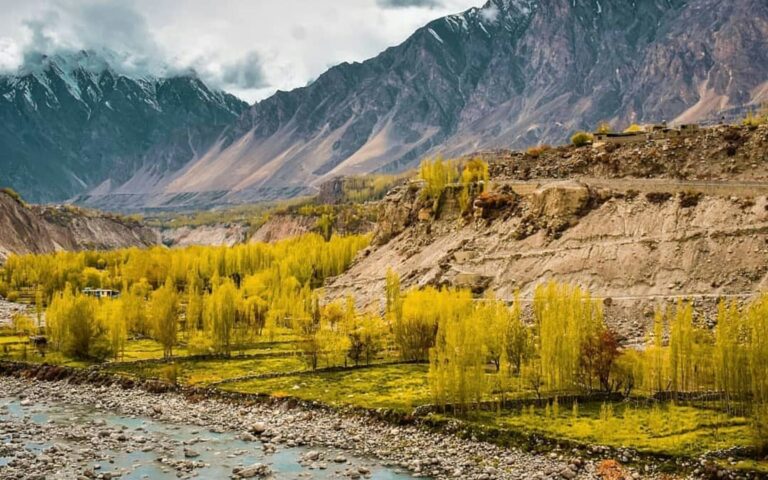

This Miranjani travel guide covers the highest peak of the Galyat region, a forested summit at about 2,992 metres above Nathia Gali in Abbottabad District. The hike is short, well used and open to most fit beginners, which makes it one of the easiest mountain days within reach of Islamabad. It sits inside Ayubia National Park, in the Namli Maira area.
Quick answer: is the Miranjani trek worth doing?
Yes, if you want a half-day hike through pine and mixed forest with a view over Galyat and, on clear days, toward Azad Kashmir. Allow 2 to 4 hours for the round trip. The summit itself is modest, so the walk is the main reason to go.
Miranjani quick facts
| Detail | Miranjani |
|---|---|
| Province and district | Khyber Pakhtunkhwa, Abbottabad District |
| Elevation | About 2,992 m (9,816 ft); some maps give about 2,980 m |
| Protected area | Ayubia National Park, Namli Maira area |
| Trail length | About 4.69 km one way, with roughly 600 m of net climb |
| Typical time | About 1 hour 15 minutes to 2 hours for fit hikers; 2 to 3 hours for beginners |
| Trailhead | Near the Governor House, Nathia Gali |
| Distance from Islamabad | About 75 to 80 km; roughly 2 to 2.5 hours by road to Nathia Gali |
| Languages | Hindko, Urdu and Pashto |
| ATMs and petrol | Available in Nathia Gali and Abbottabad; fill up before the hills |
Location
Miranjani lies at the crossroads of the Murree and Abbottabad hill areas, roughly 40 km from Abbottabad. It forms part of the Galyat tract, and Nathia Gali is the usual base. The summit view includes Nathia Gali, Mushkpuri Top and, in good weather, the ranges of Azad Kashmir.
History and background
Galyat grew as a British-era hill station area, and the peak sits within Ayubia National Park, which is managed by the Khyber Pakhtunkhwa Wildlife and Parks Department. The park covers about 3,312 hectares between Murree and Nathia Gali, according to a travel-guide summary. For the park background, see our Ayubia National Park guide.
How to reach Miranjani
- Nearest airport: Islamabad International Airport.
- Nearest railway station: Rawalpindi. There is no railway connection to Nathia Gali, so continue by road.
- Road access: From Islamabad or Rawalpindi, use the Murree road and continue to Nathia Gali, then take the short drive to the trailhead near the Governor House. Taxis from Nathia Gali bazaar can take you there.
Best time to visit and weather
Spring to autumn is the usual hiking window, and visitors report abundant flowers from late June to August. In winter the area can be snowy and cold, which changes the trail, so ask locally before you go. Mountain weather can turn quickly. We do not quote temperatures, because they vary by season and altitude.
Places to visit and things to do
- The Miranjani trail: a forest path with a steady climb and a summit viewing area.
- Mushkpuri Top: a nearby hike; see our Mushkpuri guide.
- Dunga Gali pipeline track: a gentle 4 km walk between Dunga Gali and Ayubia.
- Nathia Gali: the hill station base; see our Galiyat guide.
Photography spots
Early morning light is best through the trees, and the summit gives wider views when the air is clear. Ask permission before photographing other hikers or local guides.
Where to stay and what to eat
Nathia Gali has hotels and guesthouses at several price levels, and Abbottabad offers more choice. See our Abbottabad guide. Small restaurants in Nathia Gali serve tea, parathas and simple meals, so carry water and snacks for the hike.
Estimated costs
We do not publish PKR prices we cannot verify. Costs are limited to transport, a local guide if you hire one, food and a hotel. Agree guide fees and taxi fares in advance.
Packing checklist
- Shoes with good grip for dirt and wet leaves
- Rain jacket and a warm layer
- Water, snacks and sun protection
- Phone with offline maps and a power bank
- Small bag for rubbish
Travel tips
- Start in the morning so you finish before the afternoon cloud and rain.
- Families with older children can try the trail at an easy pace.
- Solo hikers should tell their hotel the route and expected return time.
- Dress modestly and respect local customs; see our etiquette guide.
Safety tips
- Stay on the marked path and avoid steep side slopes, especially after rain.
- Turn back in thunderstorms or heavy fog.
- Carry water; there are few shops on the trail.
- Check road conditions on the Murree and Nathia Gali road before you travel, especially in winter.
Responsible tourism
This is a national park, so carry out all rubbish, do not pick plants or feed wildlife, and keep noise low. Support local guides and small businesses in Nathia Gali.
Emergency contacts
Ask your hotel for the nearest hospital and save the number. We do not publish a phone list here because numbers change; confirm local emergency lines before you travel.
Possible itinerary
- Early morning: Leave Islamabad for Nathia Gali.
- Mid-morning: Reach the trailhead and start the Miranjani climb.
- Midday: Rest at the top and enjoy the views.
- Afternoon: Walk down and have lunch in Nathia Gali.
- Evening: Return to Islamabad, or stay the night in Nathia Gali.
Frequently asked questions
How high is Miranjani?
About 2,992 metres, the highest point in the Galyat region.
How long is the Miranjani trek?
About 4.69 km each way with roughly 600 m of climb. Most hikers need 1 to 3 hours up.
Where does the Miranjani trek start?
Near the Governor House in Nathia Gali.
Is Miranjani difficult?
No. Guides describe it as easy to moderate, and beginners can manage it at a slower pace.
When is the best time to hike Miranjani?
Spring to autumn, with flowers noted from late June to August. Check conditions in winter.
Nearby attractions and related guides
Conclusion
Miranjani is an easy way to stand on the highest point of Galyat. Start early, wear proper shoes and treat the national park with care.
Sources and official information
Last reviewed October 2026. Trail conditions, fees and access change; verify before you travel.