














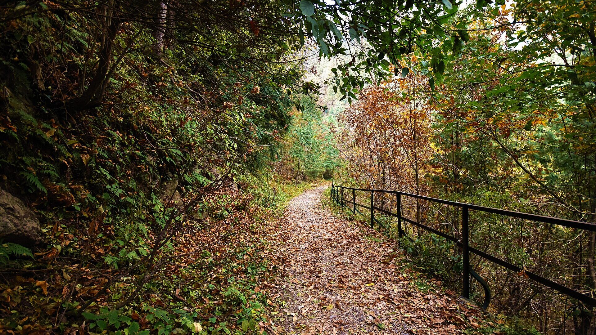
The Pipeline Track in Nathia Gali is an easy forest walk in the Galiyat hills of Abbottabad District, Khyber Pakhtunkhwa. It links Ayubia and Dunga Gali inside Ayubia National Park and is one of the most popular short walks in the area. This guide explains the route, how long it takes, the best season, how to reach it from Nathia Gali, and what we could not confirm. Last checked: October 2026.
Quick answer: what is the Pipeline Track?
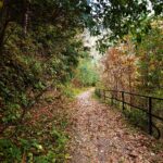
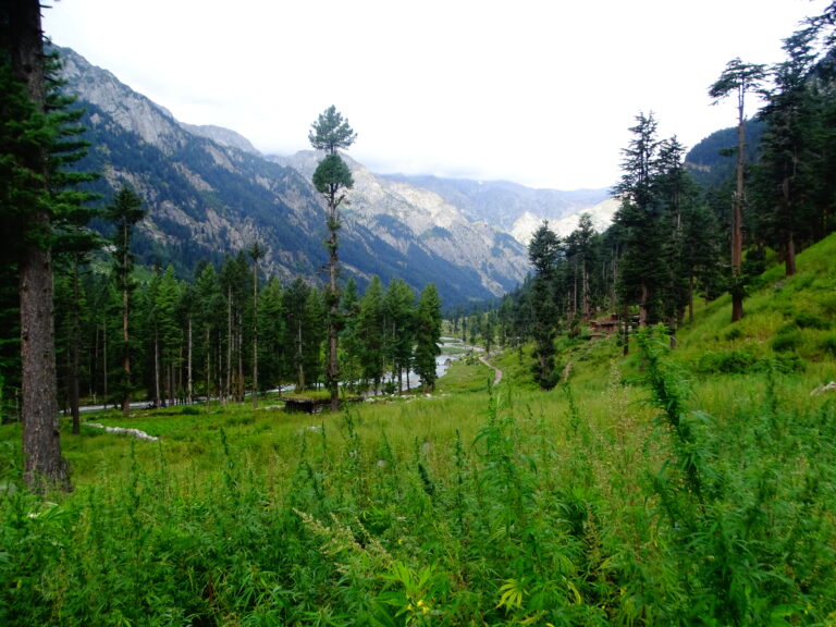
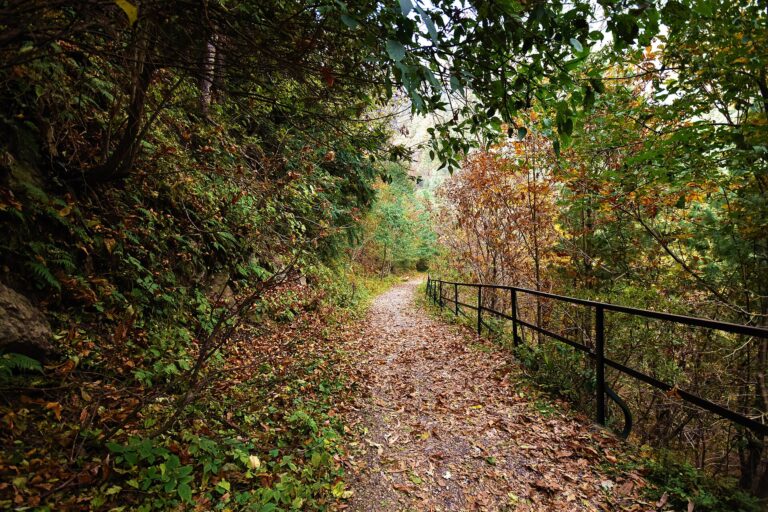
It is a walking trail between Ayubia and Dunga Gali, built along an old water pipeline and running through pine, fir and oak forest with views over the surrounding valleys, and is relatively easy. The length is about 3.5 to 4 km, and it takes roughly 35 to 50 minutes one way at an easy pace. Summer is the busiest season, and the monsoon brings daily rain.
Pipeline Track quick facts
| Item | Detail |
|---|---|
| Province and district | Khyber Pakhtunkhwa, Abbottabad District (Galiyat) |
| Park | Ayubia National Park, 3,312 hectares, established 1984 |
| Route | Ayubia to Dunga Gali, or the reverse |
| Length | About 3.5 to 4 km |
| Walking time | Roughly 35 to 50 minutes one way |
| Difficulty | Relatively easy |
| Elevation | About 2,400 m (average for the park). Nathia Gali is at 2,410 m |
| Best season | Summer, about May to August. Monsoon rain from July to mid-September |
| Entry fee and hours | Not confirmed. Check locally |
Published distances vary between about 3.5 km and 5 km, so treat the length and times as estimates.
Where is the Pipeline Track?
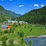
The track is in Ayubia National Park, in the Galiyat region of Abbottabad District. Nathia Gali, at about 2,410 m, lies roughly 32 km from both Murree and Abbottabad and Dunga Gali is the park headquarters. The trail runs between Ayubia, where the chairlift is, and Dunga Gali. Read our Ayubia National Park guide and the broader Galiyat guide.
History of the track and the park
Ayubia National Park was established in 1984 and expanded in 1998, and the Khyber Pakhtunkhwa Wildlife Department manages it from Dunga Gali. The trail follows an older water pipeline, which is where the name comes from. Nathia Gali itself dates from the British hill-station period, and a wooden British-era church still stands there.
How to reach the Pipeline Track
Nearest airport and railway
There is no airport or railway station in Galiyat. Most visitors start from Islamabad and Rawalpindi and continue by road through Murree or Abbottabad.
Road access
The Nathia Gali road connects the town with Abbottabad and Murree, and public transport runs daily from Abbottabad and Rawalpindi. From Nathia Gali, you can reach Ayubia or Dunga Gali by road and walk the track in either direction. We could not confirm a current fare or timetable, so ask at your hotel. Read our self-drive guide or public transport guide for options, and our Nathia Gali travel guide for the wider area.
Best time to walk the Pipeline Track
Nathia Gali’s summer season runs roughly from 1 May to 31 August, with days around 22 to 25°C, and winter nights between about −4 and 0°C. The monsoon runs roughly from 1 July to 16 September, and annual rainfall is 1,650 to 1,850 mm. These are climate summaries, not forecasts.
| Season | What to expect |
|---|---|
| Spring (March to April) | Cooler air and fewer crowds. Check the weather before you go |
| Summer (May to June) | Pleasant walking weather and the busiest period |
| Monsoon (July to mid-September) | Frequent rain and wet, slippery ground. Read our monsoon safety guide |
| Autumn (October to November) | Cool, clearer days. See our autumn destinations |
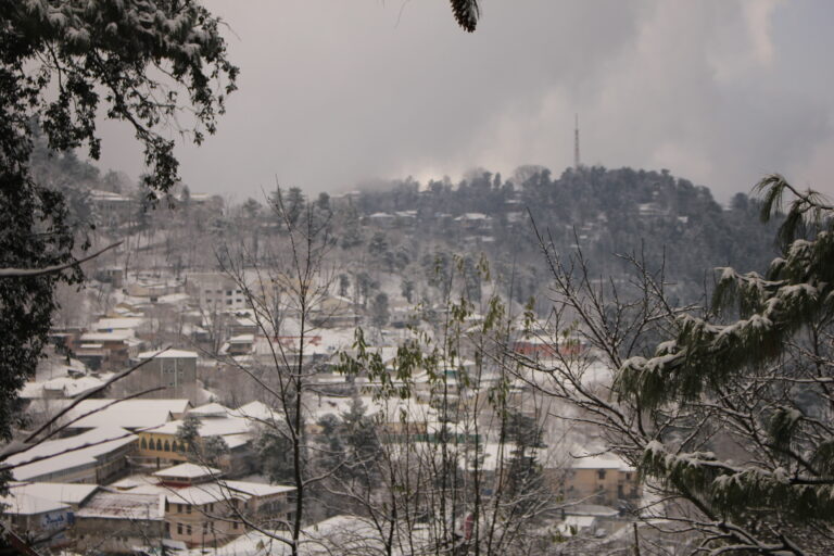
| Winter (December to February) | Cold and possible snow. Road and trail conditions should be confirmed locally. See snowfall destinations |
What you will see on the trail
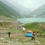
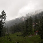
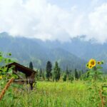
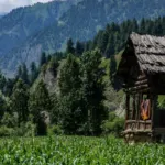
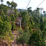
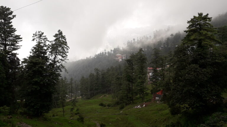
The trail runs through pine, fir and oak forest with views over the valleys. Ayubia National Park has about 757 plant species, 33 animal species and more than 200 bird species. You are unlikely to see most of them on a short walk, and you should not expect wildlife sightings. Keep your distance from any animal you meet and do not feed it.
Things to do around the track
- Ride the Ayubia chairlift to the Mukeshpuri summit, if it is operating when you visit.
- Walk the track one way and arrange a vehicle at the other end.
- Take a picnic break at a viewpoint, and carry your waste out with you.
- Try the nearby treks to Miranjani and Mushkpuri if you want a harder walk.
Suggested half-day plan
- Start early from Nathia Gali and travel to the Ayubia end of the track.
- Walk toward Dunga Gali at an easy pace, allowing about an hour with photo stops.
- Rest at Dunga Gali and confirm your return transport before you set off.
- Return to Nathia Gali before dark, and before afternoon cloud or rain if the weather is turning.
Where to stay and eat
Nathia Gali has hotels and guesthouses, and Murree and Abbottabad offer more choice. We have not verified any current prices or availability, so check directly before booking. For the wider picture, read Murree vs Nathiagali and our Islamabad guide if you are starting from the capital.
What to pack
- Shoes with a good grip, since the ground can be wet
- A rain jacket and a warm layer, even in summer
- Water, snacks and a small bag for rubbish
- A charged phone and a power bank
Our packing list for northern Pakistan has more.
Safety and responsible tourism
The trail is described as relatively easy, but forest paths can be slippery after rain and mobile signal may be patchy. Walk in daylight, stay on the marked path, and tell someone your plan. Do not light fires, and keep noise low out of respect for wildlife and other visitors. For emergencies, Rescue 1122 and Police 15 are commonly cited national numbers, but please confirm locally. Read our street food safety tips if you plan to eat along the way.
Costs, fees and what we could not verify
We could not find a verified entry fee, opening hours or chairlift price for the Pipeline Track. The trail length also varies between about 3.5 km and 5 km. Confirm these with the park office at Dunga Gali or your hotel before you go. For general budgeting, see our Pakistan travel cost guide.
Frequently asked questions
How long is the Pipeline Track in Nathia Gali?
The trail is about 3.5 to 4 km, and some guides call it 5 km. Plan for roughly 35 to 50 minutes one way at an easy pace, plus time for stops.
Is the Pipeline Track difficult?
No. The park’s forest officer described it as relatively easy, and it follows an old pipeline route.
Where does the Pipeline Track start and end?
It links Ayubia and Dunga Gali, and you can walk it in either direction.
What is the best season for the Pipeline Track?
May to August is the main summer season, but the monsoon brings rain from July. Autumn can also be pleasant.
Is there an entry fee?
We could not verify one. Ask locally before you go.
Conclusion
The Pipeline Track is a good short walk if you want forest air without a hard trek, and it fits easily into a Nathia Gali stay. Check the weather, confirm fees and transport locally, and leave the trail as you found it. Explore more in our Galiyat guide.
Sources
Related guides
Trail details, fees and conditions change. Confirm the latest information locally before you travel.