












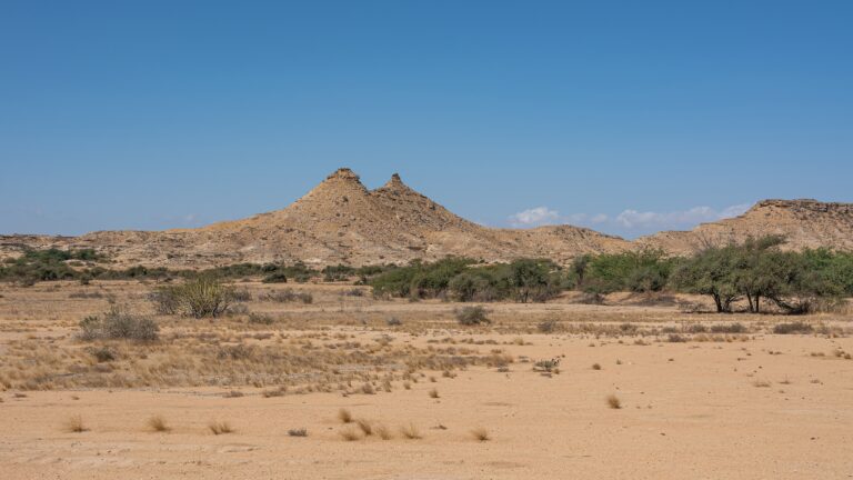
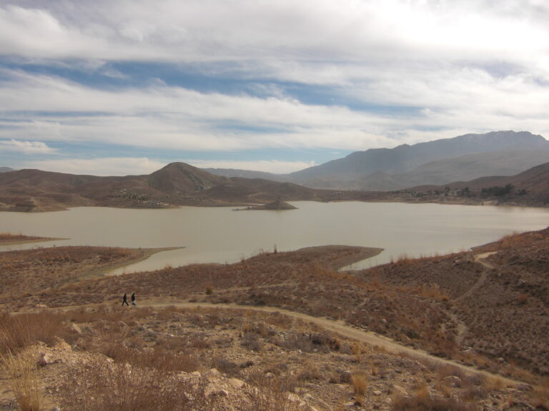


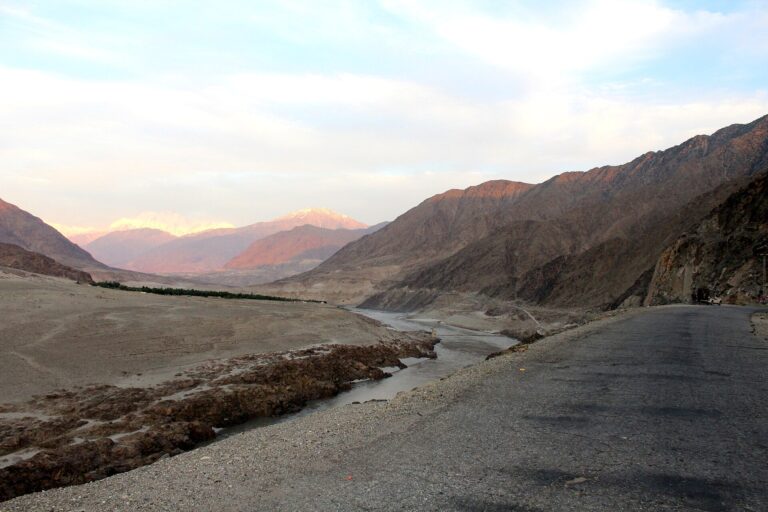
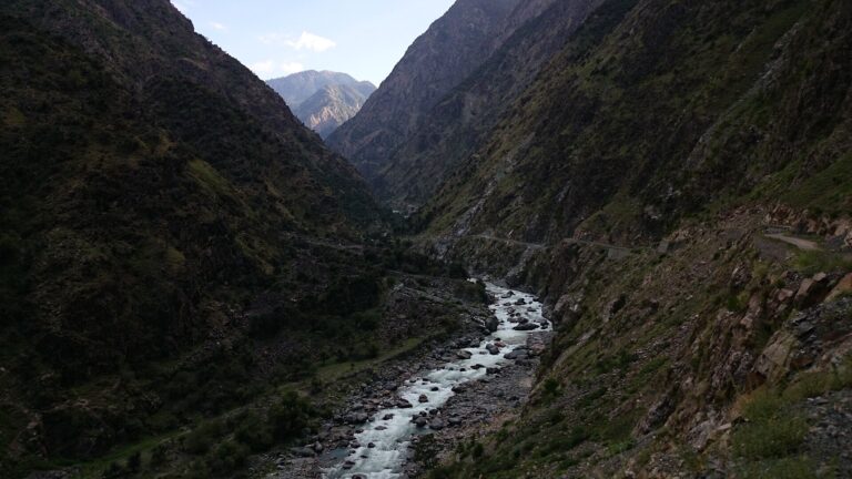

About 1,600 stone steps climb from the Gulmit polo ground to the ruins of Ondra Fort, and village volunteers laid every one of them over the winter of 2020 to 2021. Ondra Poygah, as the stairway is called, takes one to two hours to climb and ends high above Attabad Lake. Last checked: November 2026.
Quick answer: what is Ondra Poygah?
Ondra Poygah is a stairway of about 1,600 stone steps (1,655 by the organisers’ count) that the people of Gulmit built in the winter of 2020 to 2021 to reach the ruins of Ondra Fort on the hill above the village. The climb starts at the Gulmit polo ground, takes about one to two hours up, and ends with a wide view over Attabad Lake, the Passu Cones and the Ghulkin glacier. It is widely described as the longest stairway in Pakistan.
Ondra Poygah quick facts
| Item | Detail |
|---|---|
| Location | Gulmit, Gojal (Upper Hunza), Hunza District, Gilgit-Baltistan |
| What it is | A stone stairway from Gulmit village to the ruins of Ondra Fort |
| Steps | About 1,600 (1,655 by the organisers’ count) |
| Built | Winter 2020 to 2021, by Gulmit volunteers without outside funding |
| Start | Gulmit polo ground (Shagaram) |
| Time | About 1 to 2 hours up, less coming down |
| Difficulty | Easy to moderate; steady climbing at altitude |
| Elevation of Gulmit | About 2,500 m |
| Language | Wakhi is spoken in Gulmit; Urdu is widely understood |
What Ondra Poygah means
Ondra is the name of the hill above Gulmit and of the old fort on its top. Poygah is the Wakhi word for stairs or steps. Together the name simply means the steps to Ondra.
History of Ondra Fort and the stairway
Ondra Fort sits on the flat top of Ondra Hill, overlooking both Gulmit and Ghulkin villages. Of the several forts in Gojal, including Qalandarchi in Misgar and Rashit in Chipursan, Ondra is the most prominent, and today only its ruins remain. Elders in Gulmit recall that the mud bricks for the fort walls were made below and carried up the hill, since there was no water on top.
The stairway was a community project led by Gulmit’s local organisations. Work ran from December to February in the winter of 2020 to 2021, with men and women volunteering and food arranged from village resources. By January 2021 more than 900 steps were already in place. The project’s stated aim is to promote ecotourism and cultural tourism in Gulmit, and community members have also been collecting traditional objects for a planned museum at the fort.
Where is Ondra Poygah?
Gulmit is the main village of Gojal, the Upper Hunza area north of Attabad Lake, on the Karakoram Highway. It is about 30 km beyond Karimabad and roughly 130 km from Gilgit. The stairway starts at the polo ground in the old part of the village. See our Gojal Valley travel guide for the wider area.
How to reach Ondra Poygah
Gilgit has the nearest airport, with flights from Islamabad that depend on the weather. Most visitors travel by road along the Karakoram Highway through Hunza, then through the Attabad tunnels to Gulmit. From Karimabad, the drive to Gulmit takes under an hour in good conditions. Once in Gulmit, walk to the polo ground to start the climb. Our Karakoram Highway road trip guide covers the full route.
Best time to visit
| Season | What to expect |
|---|---|
| Spring (April to May) | Apricot and cherry blossom in Gulmit, cool air and clear views |
| Summer (June to August) | Warm days; start early to avoid the midday sun on the open slope |
| Autumn (September to November) | Gold and red trees, crisp air and some of the clearest views |
| Winter (December to March) | Very cold, with ice on the steps after snow; climb only with care |
Our best time to visit Hunza and spring vs autumn in Hunza guides compare the seasons in detail.
Weather
Gulmit is dry, sunny and cool for much of the year, with cold winters below freezing. The sun is strong at this altitude, and the slope has little shade, so a hat and water matter even on mild days.
What you see from the top
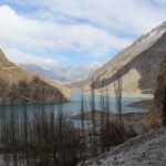
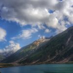
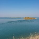
- Attabad Lake to the south, the turquoise lake formed by the 2010 landslide.
- Passu Cones to the north, the jagged peaks above Passu.
- Shisper and the high peaks of the Batura range.
- Ghulkin village and glacier just beside the hill.
- Gulmit village and Gulmit Tower directly below.
Read our guides to Attabad Lake and Borith Lake and the Passu Cones.
Things to do
- Climb the stairway early in the morning for soft light on the lake.
- Walk around the fort ruins at the top, staying off crumbling walls.
- Walk through old Gulmit and see the polo ground and village houses.
- Continue to Borith Lake or the Passu suspension bridges the same day.
Photography spots
The best images come from the top, looking south over Attabad Lake with the morning sun, and north toward the Passu Cones in late afternoon. The zigzag of steps on the hillside also makes a strong picture from partway up. Ask before photographing people in the village, especially women.
Where to stay
Gulmit has hotels and guesthouses, which makes it easy to climb Ondra Poygah at sunrise or sunset. Many visitors also stay in Karimabad or Passu and visit on a day trip. See our best hotels in Hunza.
What to eat
Gojal’s Wakhi kitchen includes breads, apricot dishes and local cheese. Look for small cafes in Gulmit run by local families. Our Hunza food guide lists the main dishes.
Estimated costs
We could not confirm any fee for climbing the stairway, and none was being charged at the time of writing. Your costs are transport to Gulmit, accommodation and food. Supporting local cafes and guides helps the community that built the steps.
Packing checklist
- Comfortable shoes with good grip
- Water, sun hat and sunscreen
- A warm layer, since the top is windy
- A camera or phone with space for panoramas
Travel tips
- Take the climb slowly if you have just arrived at altitude. See our altitude sickness guide.
- Allow two to three hours for the round trip with time at the top.
- Ask in Gulmit about the current state of the steps after snow or rain.
- Carry cash; card payment is rare in Gojal.
Safety tips
- The steps can be slippery in winter and early spring.
- Do not climb on the fort walls.
- The slope is exposed, so avoid the hottest hours in summer.
- Stop and rest if you feel dizzy or short of breath.
Responsible tourism
The stairway was built by unpaid volunteers. Carry your rubbish down, do not remove stones or write on walls, and keep to the steps rather than cutting across the slope. Dress modestly in the village, as Gulmit is a conservative community.
Emergency contacts
Rescue 1122 operates in Hunza and police 15 is the standard police number. Mobile coverage is generally available in Gulmit, but confirm with your hotel.
Nearby attractions
Suggested half day plan
- Early morning: start at the Gulmit polo ground and climb to Ondra Fort.
- Midmorning: spend time at the top, then walk down through the village.
- Afternoon: drive to Borith Lake or Passu, or down to Attabad Lake for a boat ride.
Frequently asked questions
Where is Ondra Poygah?
In Gulmit, Gojal (Upper Hunza), Gilgit-Baltistan, about 30 km north of Karimabad on the Karakoram Highway.
How many steps does Ondra Poygah have?
About 1,600; the organisers give the figure as 1,655.
How long does the Ondra Poygah climb take?
Most people reach the top in one to two hours. Allow two to three hours for the round trip.
What can I see from the top of Ondra Poygah?
Attabad Lake, the Passu Cones, Shisper, Ghulkin glacier and Gulmit village.
Is Ondra Poygah difficult?
It is a steady climb rather than a technical one, but the altitude makes it harder than the same number of steps at sea level.
Is there an entry fee for Ondra Poygah?
We could not confirm any fee for the stairway.
Conclusion
Ondra Poygah takes a morning. Climb early, take the steps slowly at 2,500 m, and leave the afternoon for Borith Lake or Passu.
Sources
- Dawn: Ondra Poygah, letter from Gulmit, January 2021
- The Karakoram: Ondra Poygah community initiative