









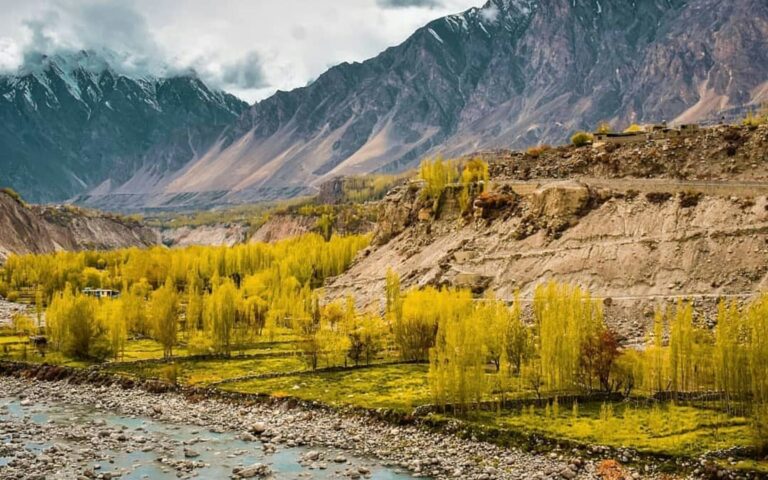
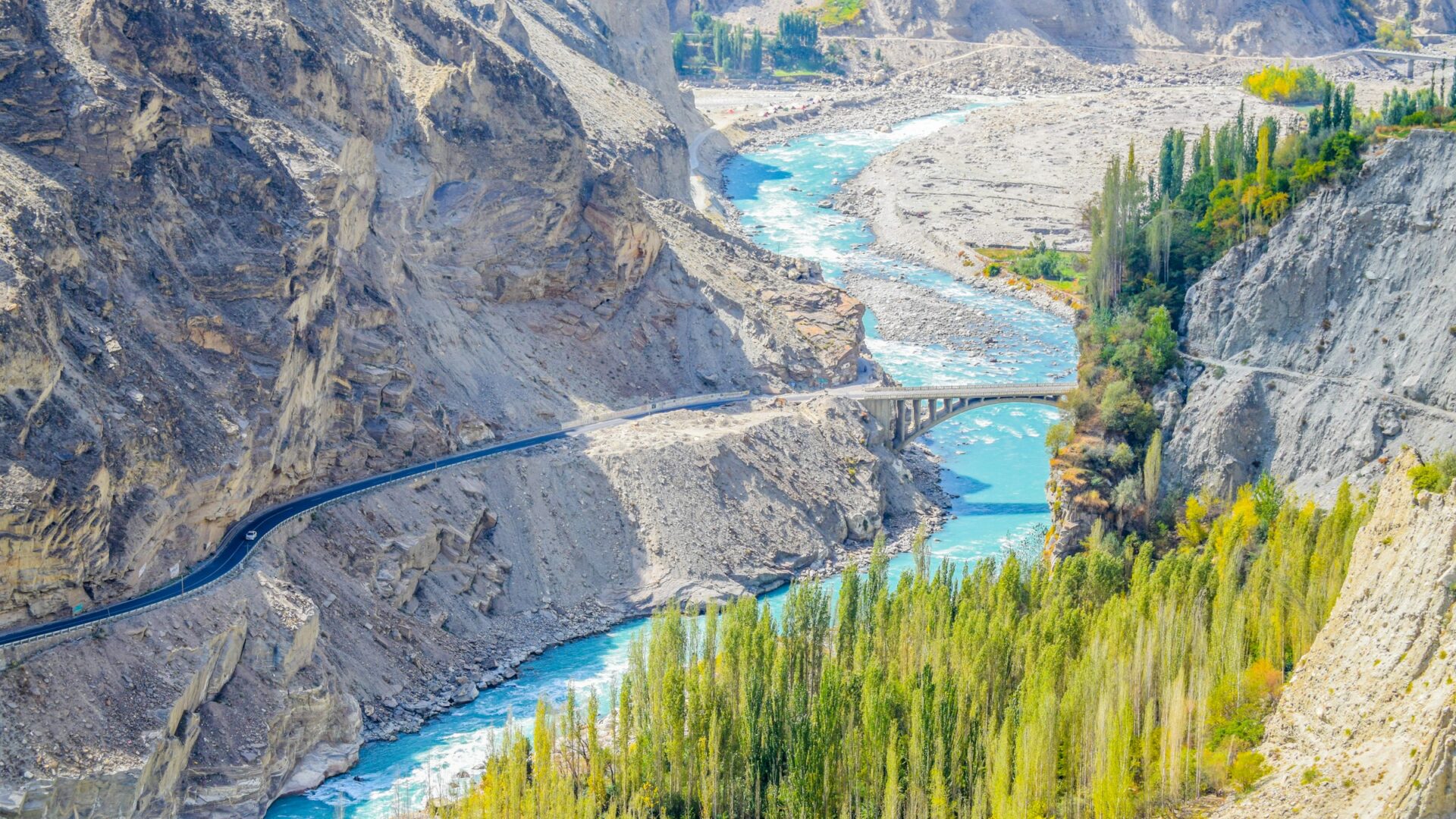
Ultar Meadows is the trek you can start on foot from your Karimabad hotel. No jeep, no drive, just a steep path leading straight up behind Baltit Fort. It’s short by Karakoram standards, roughly 6.2 km one way, but steep and technical enough to catch casual hikers off guard.
Ultar Meadows trek guide: the basics
| Detail | Ultar Meadows |
|---|---|
| Elevation | 3,270 meters |
| Distance | Roughly 6.2 km one way from Karimabad |
| Trek time | 4 to 5 hours |
| Best season | May to October |
What makes this trek different
Unlike Rush Lake, Rakaposhi Base Camp, or nearly every other Hunza trek, Ultar Meadows starts essentially in town. The trailhead sits about 15 minutes on foot from most Karimabad hotels, just before Baltit Fort. It follows an irrigation water channel into the mouth of a canyon. No jeep approach, no multi-hour drive to a trailhead, just lace up and walk.
That accessibility is deceptive, though. The trail gains elevation aggressively over a short distance. It crosses exposed sections and at least one notably steep, cable-assisted stretch that demands a genuine head for heights. The route has also become increasingly eroded over the years. This is not a casual afternoon stroll despite how close it starts to town.
What you’ll see along the way and at the top
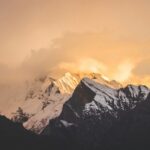
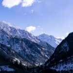
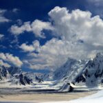
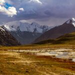
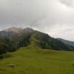
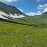
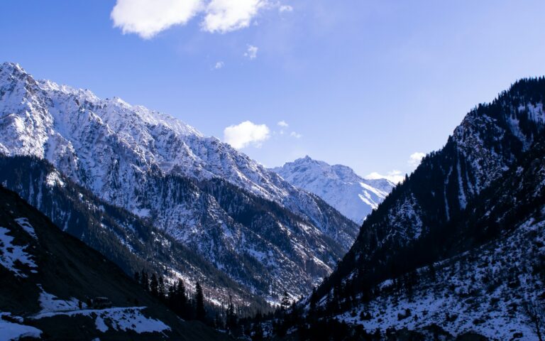
The trail climbs through rock and grass past shepherds’ huts before opening into Ultar Meadows itself. It’s a summer pasture traditionally used by Baltit villagers. From the meadow, you’re looking directly at the Ultar massif. Hunza Peak and the distinctive rock spire of Bubli Motin, also called Ladyfinger Peak, sit nearby. Camping is available inside a managed compound run by local Hunza clans, with a small fee. A kitchen hut sells basic meals and drinks.
Experienced trekkers with an extra day sometimes continue to Hon Pass at 4,257 meters, a steep ridge above Ultar Meadows. The views extend toward the Hispar, Spantik, and Rakaposhi-Haramosh ranges.
A safety note worth taking seriously
Despite starting so close to Karimabad, this trail deserves real respect. Trekkers have been lost and injured here over the years. Eroded sections and changing weather mean you should go with a guide or at least tell someone your plan. An eroding trail, exposed sections, and the temptation to underestimate a trek that starts in town, this combination has caught people out.
Getting to the trailhead
Karimabad sits at roughly 2,500 m on the Karakoram Highway, about 100 km and 2.5 to 3 hours by road from Gilgit, according to the Gilgit-Baltistan tourism portal. Once you are in town, the trailhead is a short walk from most hotels, near Baltit Fort. Read our Karimabad travel guide and Gilgit travel guide for the journey and where to stay.
A realistic day plan
| Stage | What to expect |
|---|---|
| Early start | Leave Karimabad early, before the sun is strong, and walk up past Baltit Fort to the water channel |
| Climb | Roughly 4 to 5 hours to the meadow, steep at first, with exposed and eroded sections |
| At the meadow | Rest, eat at the kitchen hut if open, and look at Ultar Sar, Hunza Peak and Ladyfinger |
| Descent | Usually quicker than the climb, but steep, eroded ground needs care on tired legs |
Times vary with fitness, weather and how often you stop, so allow a full day and aim to be back before dark. Check conditions with your hotel or a local guide before you go.
What to pack
- Sturdy shoes with good grip; the trail can be slippery and loose
- Plenty of water and snacks, as water is limited on the climb
- Warm layers and a windproof jacket, because winds off the glacier turn cold
- Sun hat, sunglasses and sunscreen
- Cash for the meadow’s kitchen hut and any camping fee
- Phone, headlamp and a basic first-aid kit
Staying overnight at the meadow
Camping is possible in a compound managed by local families, and fees and facilities can change, so confirm the current arrangement in Karimabad before you carry gear up. Bring warm layers, a sleeping bag suited to the altitude and cash. Overnight stays give you sunrise views of the peaks, but they also mean carrying more weight on a steep path.
Extending the trek to Hon Pass
Strong, experienced trekkers sometimes continue from the meadow to Hon Pass, a ridge quoted at roughly 4,200 to 4,257 m depending on the source. It is a longer, harder day at higher altitude, so only attempt it if you are acclimatised and confident on steep ground. Read our altitude sickness guide before planning it.
Combine it with other Karimabad sights
- Baltit Fort and Altit Fort, both within easy reach of the trailhead
- The Eagle’s Nest viewpoint at Duikar for sunrise or sunset panoramas
- Our Ultar Sar guide for the climbing history of the peak above the meadow
Responsible trekking on the Ultar trail
Ultar Meadows is a working summer pasture. Keep to the trail, close gates, carry out all rubbish and avoid disturbing livestock. Eroded sections get worse when people cut corners, so stay on the main path. Hiring a local guide supports Karimabad’s community.
Ultar Meadows trek guide: practical tips
- Don’t treat this as a casual walk just because it starts in town. The steep, exposed sections deserve the same preparation as any serious day hike.
- Consider a local guide, especially if you’re unfamiliar with exposed cable sections. The route’s erosion has made some stretches more demanding than older trip reports suggest.
- Bring cash for the camping fee and any food from the meadow’s kitchen hut. These are cash-only, informal arrangements.
- Start early. Morning sun reaches the meadow late, and winds off the glacier can turn cold.
Pair this with our Hunza Valley travel guide and altitude sickness guide before you go.
Frequently asked questions
How long does the Ultar Meadows trek take?
Roughly 4 to 5 hours one way, covering about 6.2 km from Karimabad.
Do I need a jeep to reach the trailhead?
No, this is unique among Hunza treks. The trailhead is about 15 minutes on foot from most Karimabad hotels.
Is the Ultar Meadows trek dangerous?
It deserves real respect despite its short length. The trail includes exposed, eroded sections, and there’s a documented history of trekkers getting lost or injured.
Can I camp at Ultar Meadows?
Yes, in a managed compound run by local Hunza clans. There’s a small camping fee and a kitchen hut for basic meals.
What can I see from Ultar Meadows?
The Ultar massif, Hunza Peak, and the distinctive rock spire of Bubli Motin, also known as Ladyfinger Peak.
What should I pack for the Ultar Meadows trek?
Sturdy shoes, water, snacks, warm and windproof layers, sun protection and some cash for the kitchen hut or camping fee.
Is Ultar Meadows suitable for beginners?
It is short on paper but steep and exposed in places, so fit beginners can attempt it with care and ideally a guide, but it is not a casual stroll.
Can I combine Ultar Meadows with Baltit Fort?
Yes. The trail starts beside Baltit Fort, so many visitors see the fort before or after the hike.
Sources and official information
See the Gilgit-Baltistan tourism portal’s page on Karimabad Valley. Trail times, altitude and camping details come from hiking guides and local operators, so confirm current conditions in Karimabad.