
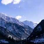
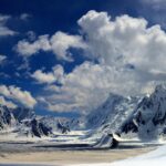
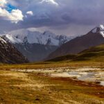
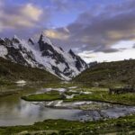
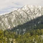




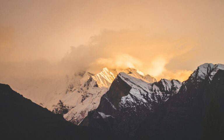

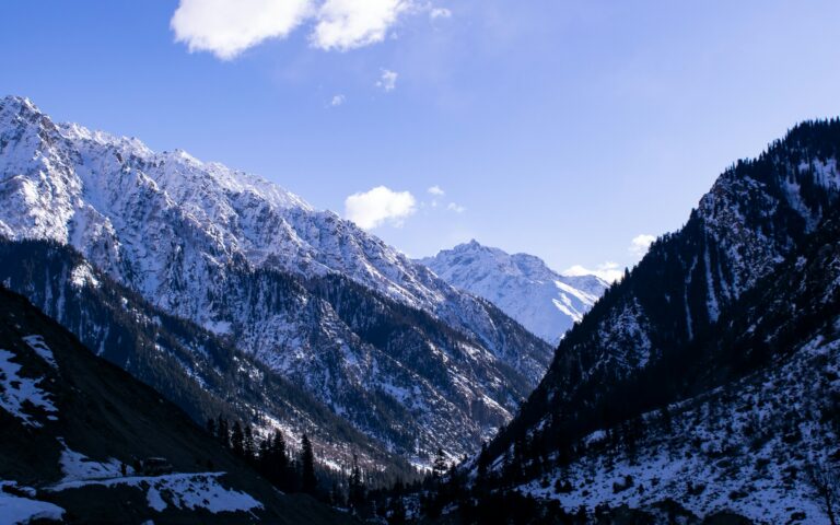
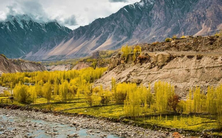
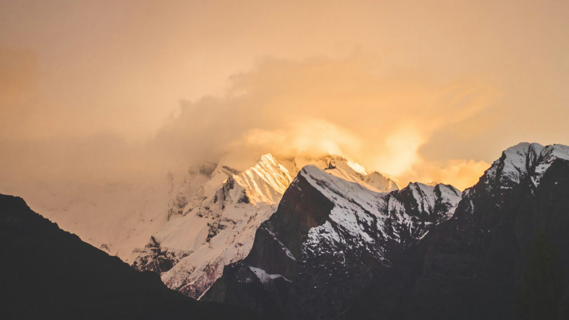
Ultar Sar rises 5,300 meters above the Hunza River in just 10 kilometers of horizontal distance, one of the steepest reliefs on Earth. For decades it was believed to be the world’s highest unclimbed independent peak, and even after its first ascent in 1996, no one summited it again for nearly three decades.
Ultar Sar: peak overview
| Detail | Ultar Sar |
|---|---|
| Elevation | 7,388 meters (24,239 feet) |
| Mountain range | Batura Muztagh, Karakoram |
| Coordinates | 36°23′59″N 74°41′31″E |
| World ranking | Ultar Sar is a 7,388 m peak above Karimabad in Hunza; world-ranking figures vary by source. |
| Alternative names | Ultar, Ultar II, Bojohagur Duanasir II |
| Location | Roughly 10 km northeast of Karimabad, Hunza Valley, Gilgit-Baltistan |
| First ascent | July 1996 (two separate Japanese expeditions) |
| Base camp | Bathbakor Base Camp, roughly 4,300 meters |
| Best climbing season | June to September |
Climbing history
- 1980s-1990s: over 15 expeditions attempted the summit and failed, several ending in fatalities.
- July 1996, first ascent: achieved almost simultaneously by two separate Japanese teams. Akito Yamazaki reached the summit with the first expedition but died during the descent.
- 1997: Kiyoshi Matsuoka, a member of that same 1996 team, died the following year on the nearby peak Bublimotin.
- 1996-2024: no further recorded ascents, a genuine rarity for a peak under 7,500 meters.
- 2025, Southeast Pillar first ascent: climbers Ethan Berman, Sebastian Pelletti, and a third teammate completed the first ascent of the Southeast Pillar, long considered one of the last great unclimbed lines in the Karakoram. The alpine-style route covered 3,100 meters of steep snow, ice, and mixed terrain, including a rock barrier at 7,000 meters.
Climbing difficulty and routes
- Overall difficulty: one of the more difficult peaks in the Karakoram relative to its height, given the sustained steepness of every approach.
- Original 1996 routes: Southwest Ridge and South Ridge.
- 2025 route: Southeast Pillar, also called the Hidden Pillar or the Walker Spur of the Karakoram.
- Suitability: a serious technical objective for experienced alpinists, not suited to guided commercial expeditions the way some 8,000-meter mountains have become.
Base camp and logistics
- Base camp: Bathbakor Base Camp, roughly 4,300 meters, reached via approach routes from the Hunza Valley near Karimabad.
- Trek documentation: given how rarely this peak is attempted, detailed, standardized trek logistics aren’t well documented publicly.
- Recommendation: any serious expedition should work directly with a registered Pakistani expedition operator for current route conditions, permit requirements, and camp planning.
Nearby peaks and features
- Bojohagur Duanasir: the west summit of the same ridge system, 7,329 meters, first climbed in 1984.
- Hunza Peak: 6,270 meters, on the southwest ridge of the Ultar Sar massif.
- Ladyfinger (Bublimotin): a distinctive rock spire visible alongside Hunza Peak, one of the most photographed formations in the valley.
- Shispare: 7,611 meters, the large peak to the northwest of the Bojohagur/Ultar massif.
Glaciers, viewpoints, and the community below
- Hasanabad Glacier: flows from the massif and was the approach route used for Bojohagur Duanasir’s 1984 first ascent, tying the region’s glaciology to its climbing history.
- Best viewpoints: Karimabad itself offers direct views of the massif, and the Duikar/Eagle’s Nest viewpoint above town delivers a wider panorama, covered in our cherry blossom season guide.
- Local community: Karimabad and the surrounding villages are home to Hunza’s Burusho community, whose language and culture are distinct from most of the rest of Gilgit-Baltistan.
- Nearby heritage sites: Baltit Fort and Altit Fort both sit within the same valley, worth combining with any trip to view the peak.
How to reach the area
- Base town: Karimabad, roughly 100 km from Gilgit. See our Karimabad travel guide.
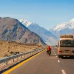
- Gateway city: Gilgit, reachable by air from Islamabad or by road via the Karakoram Highway. See our Gilgit travel guide.
How to see Ultar Sar without climbing it
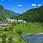
Almost nobody visits Ultar Sar to climb it, but the mountain is easy to appreciate from the valley floor and the ridges around Karimabad. The Gilgit-Baltistan tourism portal describes Karimabad as sitting at roughly 2,500 m, surrounded by Rakaposhi, Ultar Sar, Diran and Golden Peak, which is why it makes such a good base.
- Karimabad and Baltit Fort: the massif fills the sky above the old town, and the fort is one of the best foregrounds for photographs. See our Baltit Fort guide.
- Eagle’s Nest at Duikar: a ridge viewpoint at about 2,850 m above Karimabad, known for panoramic sunrise and sunset views over Hunza and Nagar. One lodge operator describes it as around a two-hour walk or a 30-minute drive from Karimabad.
- Altit Fort: a quieter viewpoint on the valley floor, covered in our Altit Fort guide.
Ultar Meadows: the accessible hike beneath the peak
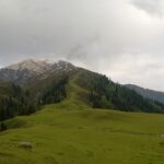
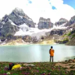
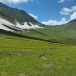
The nearest most visitors get to Ultar Sar is Ultar Meadows, a high pasture used in summer by the villagers of Baltit. The trail begins near Baltit Fort and follows the water channel into the Ultar valley. Sources agree that the start is steep and can be slippery, so it is harder than the distance suggests.
| Detail | Ultar Meadows hike |
|---|---|
| Start | Near Baltit Fort, Karimabad |
| Altitude | About 3,270 m; operators quote figures between 3,250 and 3,500 m |
| Time | Roughly 4 to 5 hours up, depending on fitness and conditions |
| Distance | About 7 km, according to one hiking guide |
| Season | Typically May to October |
| What you see | The Ultar glacier, Ladyfinger Peak and Hunza Peak |
Check the weather and trail condition in Karimabad before you set out, start early, carry water and consider a local guide. These figures come from hiking guides and tour operators rather than an official source, so treat them as approximate.
Distances to Karimabad
| From | Distance and time |
|---|---|
| Gilgit | Around 100 km, about 2.5 to 3 hours by road |
| Islamabad | About 550 km via the Karakoram Highway; the tourism portal lists a long journey of roughly 20 to 22 hours |
Road conditions and landslide closures on the Karakoram Highway change, so confirm the current situation before you travel. For the wider valley, read our Hunza travel guide.
Seeing the peak well: practical tips
- Mornings are usually clearest, and cloud often builds later in the day.
- A longer lens helps, because the summit is far above the valley and looks smaller than the relief suggests.
- Allow a spare day in Karimabad in case cloud or rain hides the mountain.
- Ask permission before photographing people in the village and on the trail.
Responsible travel around Ultar
Ultar Meadows is a working pasture. Close gates, keep to the trail, carry out your rubbish and avoid disturbing livestock. Hiring a local guide supports the community that lives below the mountain.
Ultar Sar permits, safety, and honest limitations
- Permits: any expedition to a peak this height requires a climbing permit through Pakistan’s Ministry of Tourism, arranged via a registered operator. Our permit fees guide covers the general process.
- Costs: exact fees for a peak this rarely attempted should be confirmed directly with your operator rather than assumed from older figures.
- Experience required: given Ultar Sar’s genuine technical difficulty and long record of fatalities, this isn’t a mountain for casual climbers. Serious high-altitude experience is essential.
Frequently asked questions
How tall is Ultar Sar?
7,388 meters (24,239 feet), in the Batura Muztagh subrange of the Karakoram.
When was Ultar Sar first climbed?
July 1996, by two separate Japanese expeditions within days of each other, following over 15 failed attempts through the 1980s and 90s.
Is Ultar Sar difficult to climb?
Yes. Every approach involves sustained steep terrain, and the peak has a real history of fatalities among experienced climbers.
How close is Ultar Sar to Karimabad?
Roughly 10 km northeast, though the vertical relief, over 5,300 meters above the Hunza River, makes it feel far more remote than that distance suggests.
Has Ultar Sar been climbed recently?
Yes, in 2025, a team completed the first ascent of the previously unclimbed Southeast Pillar, nearly 30 years after the mountain’s only prior successful ascents.
Where is the best place to see Ultar Sar?
Karimabad and Baltit Fort give direct views, and the Eagle’s Nest viewpoint at Duikar offers a wider panorama, especially at sunrise and sunset.
Can tourists hike to Ultar Meadows?
Yes, it is a popular day hike from Karimabad, typically between May and October. The start is steep, so go early and check conditions locally.
Sources and official information
See the Gilgit-Baltistan tourism portal’s page on Karimabad Valley. Climbing history and route details for Ultar Sar come from the reference entry on the Batura Muztagh and published expedition reports.