
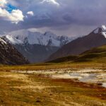
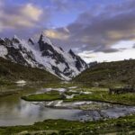
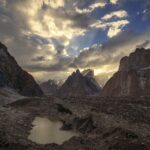
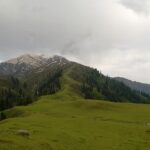
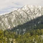
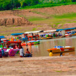
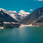
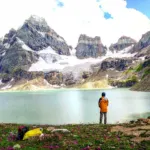




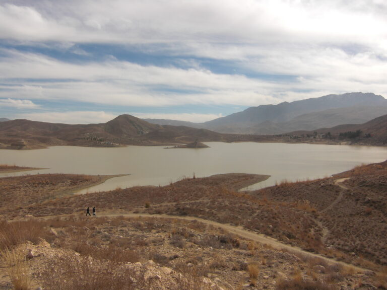

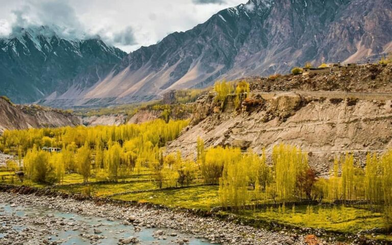
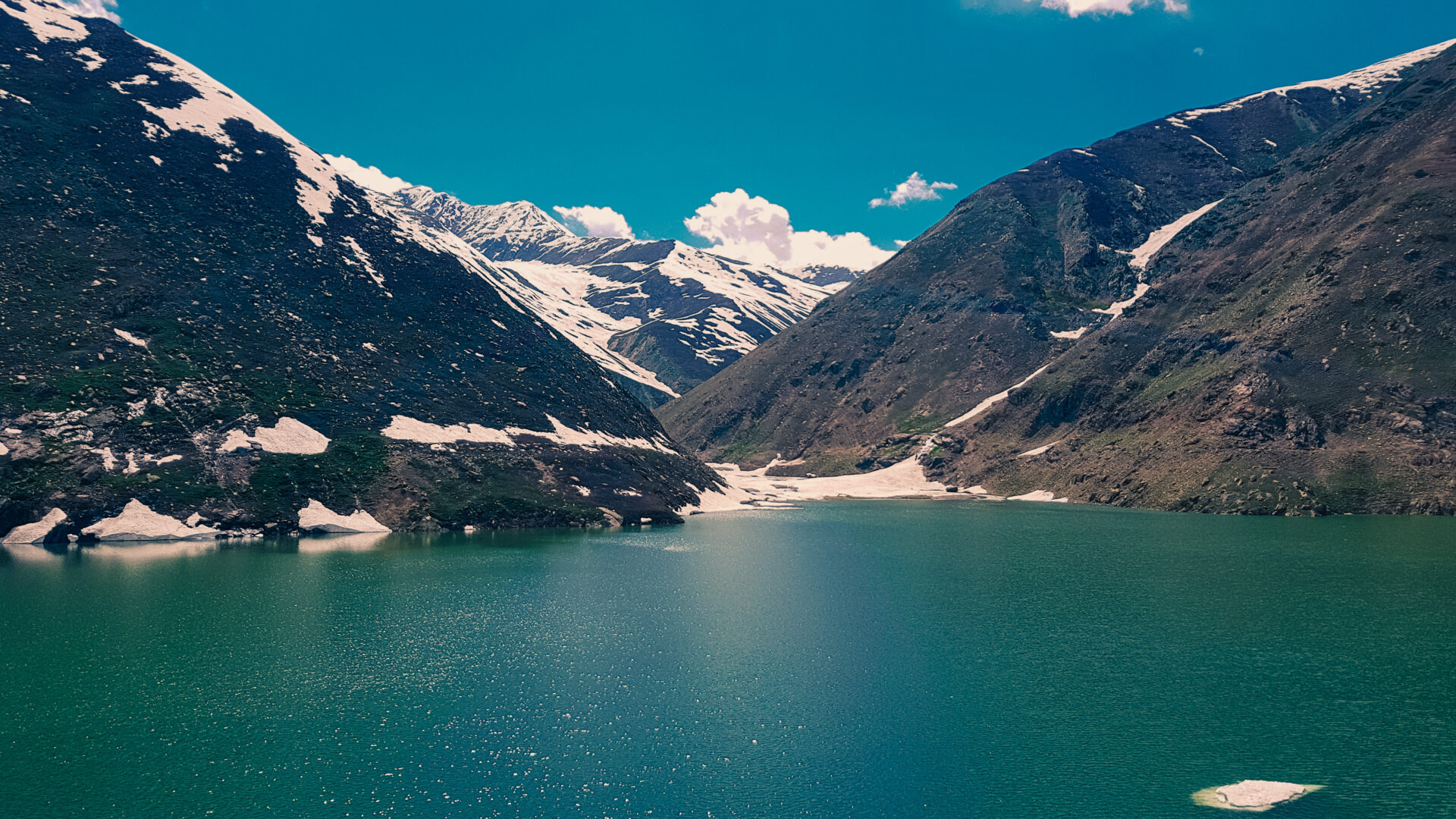
This Lulusar Lake travel guide covers the largest lake in the Kaghan Valley, which sits at about 3,410 metres beside the Naran to Babusar road. Unlike most high lakes in the north it needs no trek, so it works as a half-day stop on a Naran trip or as the first halt on the way to Babusar Top. It is also the headwater of the Kunhar River.
Quick answer: is Lulusar Lake worth a stop?
Yes. It is a large, calm alpine lake with open slopes around it, reached by a drive of around two hours from Naran in summer. Give it 30 to 60 minutes rather than a quick photo stop, and combine it with Babusar Top or Dudipatsar if you have the time.
Lulusar Lake quick facts
| Detail | Lulusar Lake |
|---|---|
| Province and district | Khyber Pakhtunkhwa, Mansehra District (Kaghan Valley) |
| Elevation | About 3,410 m |
| Distance from Naran | About 48 to 50 km, roughly 1.5 to 2 hours by road in good conditions |
| Distance from Islamabad | About 328 km by one tourism source |
| Type | Alpine glacial lake, headwater of the Kunhar River |
| Protected area | Lulusar-Dudipatsar National Park |
| Best months | June to September |
| Languages | Urdu, Hindko and Pashto are widely heard in Kaghan |
| Mobile coverage and ATMs | Signal is patchy past Naran, and ATMs are in Naran or lower; carry cash |
Where is Lulusar Lake?
The lake lies on the Naran to Babusar road, between Besal and Babusar Top, in the upper Kaghan Valley. It forms part of Lulusar-Dudipatsar National Park, and the Kunhar River starts here and runs the length of Kaghan past Jalkhad, Naran, Kaghan, Jared and Paras before joining the Jhelum near Balakot and Muzaffarabad.
How to reach Lulusar Lake
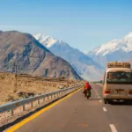
There is no airport or railway station in Kaghan. The usual approach is Islamabad or Rawalpindi to Mansehra and Balakot, then up the valley to Naran, and on toward Babusar Pass. The lake is reached by road, and the Wikipedia entry notes it is reachable by any kind of vehicle in season, although surface and width vary and the road is narrow in places.
| From | Approximate distance |
|---|---|
| Naran | About 48 km |
| Babusar Pass | About 30 km further, based on Naran to Lulusar (48 km) and Naran to Babusar (about 80 km) |
| Islamabad | About 328 km |
The Naran to Babusar road is generally usable only in the warmer months. Opening dates vary every year with snow, so ask in Naran or check with local administration before you set out. Our Islamabad to Gilgit road trip guide covers the longer route over Babusar.
Best time to visit and weather
June to September is the practical window. At 3,410 metres the days can be pleasant and the nights cold, and weather can change within an hour. Snow closes the upper road in winter. We do not quote temperatures because they vary widely by week.
What to see and do
- Walk the shoreline. The lake is wide and open, and a short loop shows the changing light on the water.
- Photograph the reflections. Calm mornings give the clearest mirror images of the surrounding peaks.
- Picnic and rest. Take food and water, since facilities at the lake are limited.
- Combine nearby stops. See Babusar Top and Dudipatsar Lake.
Hidden stops and photography
Dawn and late afternoon give the softest light. Ask before photographing local families or herders, and avoid flying drones over other visitors.
Where to stay and what to eat
Most visitors stay in Naran, which has the widest choice; see our Naran and Kaghan hotels guide. Meals are simple, usually tea, parathas, rice and local trout or chicken dishes in Naran. Carry water and snacks for the lake.
Estimated costs
Prices for jeeps, hotels and food change each season, so we do not list PKR figures we cannot verify. Budget for a private or shared vehicle from Naran, any park or entry fees confirmed locally, and meals. Agree the return fare and waiting time before you leave.
Packing checklist
- Warm jacket and a rain layer, even in July
- Hat, sunglasses and sunscreen for strong high-altitude sun
- Sturdy shoes for wet ground
- Water, snacks and cash
- Power bank and offline maps
See also what to pack for Naran and Kaghan.
Travel tips
- Leave Naran early to reach the lake in the morning and return before afternoon weather.
- Families should take warm clothes for children, as the lake is much colder than Naran.
- Budget travellers can share a jeep with other visitors from Naran.
- Dress modestly and respect local customs; see our etiquette guide.
Safety tips
- Check the road status before driving up, since landslides and snow can block it.
- Mild altitude effects are possible at 3,400 metres; rest and drink water, and read our altitude sickness guide.
- Do not swim; the water is cold and the shore drops away.
- Rescue 1122 operates in Khyber Pakhtunkhwa, but mobile signal may be weak here, so tell your driver or hotel your plan.
Responsible tourism
Take rubbish back to Naran, keep to existing paths, do not feed wildlife and buy water in reusable bottles where you can. Respect the national park setting and the herders who use the slopes.
Possible itinerary
- Morning: Leave Naran early, with a check of the road and weather.
- Mid-morning: Reach Lulusar Lake and walk the shoreline.
- Midday: Continue to Babusar Top if the road is open, or turn back.
- Afternoon: Return to Naran before evening.
Frequently asked questions
How far is Lulusar Lake from Naran?
About 48 to 50 km. Allow roughly two hours by road, more if the road is wet or crowded.
Is Lulusar Lake bigger than Saif-ul-Mulook?
Several sources describe it as the largest lake in Kaghan Valley, larger than Saif-ul-Mulook.
Do I need to trek to Lulusar Lake?
No. It sits beside the Naran to Babusar road and can be reached by vehicle in season.
Which river starts at Lulusar Lake?
The Kunhar River, which runs the whole length of Kaghan Valley before joining the Jhelum.
When does the road to Lulusar Lake open?
It depends on the snow each year. Check locally in Naran before you travel.
Nearby attractions and related guides
Conclusion
A visit to Lulusar Lake rewards time more than effort. Go in summer, start early, and treat it as a destination in its own right rather than a stop on the way to Babusar.
Sources and official information
Last reviewed October 2026. Road access, fees and prices change; verify before you travel.