
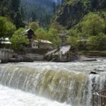
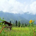
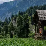
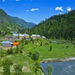



The Haramosh Valley Kutwal Lake trek is a moderate multi-day walk in Gilgit District, Gilgit-Baltistan, starting from the Sassi side of the Gilgit–Skardu road and climbing through villages, forest and moraine to Kutwal Lake beneath the Haramosh massif. This guide covers access, season, the two common route versions, and what we could not confirm. Last checked: October 2026.
Quick answer: what is the Kutwal Lake trek?
It is a trek from Sassi village via Iskere and Kutwal village to Kutwal Lake. It is rated moderate and takes 5 to 7 hours from Sassi, with horses and porters available at Sassi. A longer version begins by jeep to Dassu and is usually done in four days. The usual season is May to September. Haramosh Peak, at 7,409 m, is the mountain above the valley.
Haramosh Valley and Kutwal Lake quick facts
| Item | Detail |
|---|---|
| Region and district | Gilgit-Baltistan, Gilgit District |
| Trek route | Sassi, Iskere, Kutwal village, Kutwal Lake |
| Difficulty | Moderate |
| Walking time (short route) | 5 to 7 hours from Sassi |
| Season | May to September |
| Haramosh Peak elevation | 7,409 m |
| Kutwal Lake elevation | Not confirmed |
| Support at the start | Horses and local porters at Sassi |
| Permit rules | Not confirmed. Check our permits guide and ask your operator |
Two versions of the route are in use, with different starting points and stage lengths, so ask a local guide which version your group will walk.
Where is Haramosh Valley?
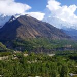
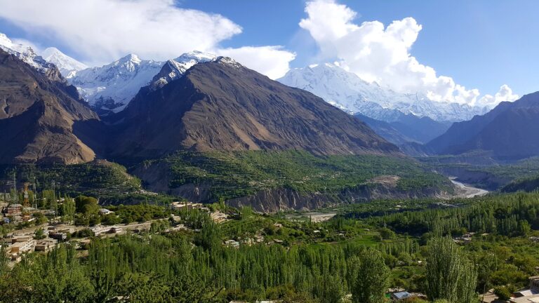
The Haramosh Valley is in Gilgit District. Haramosh Peak lies about 65 km east of Gilgit, rising above the north bank of the Indus just upstream of its meeting with the Gilgit River. The peak belongs to the Rakaposhi–Haramosh range of the Karakoram. For the regional picture, read our Gilgit guide.
History of Haramosh
The first ascent of Haramosh Peak on 4 August 1958, by three Austrians who climbed via the Haramosh La and the east ridge. Earlier attempts and expeditions took place in the 1950s. The massif has two main summits, Haramosh Peak and Haramosh Kutwal Laila Peak. Trekkers to Kutwal Lake do not climb the peak, but they walk beneath it. See our guide to mountains to climb in Pakistan for context.
How to reach the Haramosh trailhead
Nearest airport and railway
The nearest airport is Gilgit, with Islamabad as the usual departure point. Daily flights run from Islamabad to Gilgit, taking about an hour depending on weather. There is no railway in Gilgit-Baltistan, so the closest rail connection is on the plains. Our domestic flights guide explains how flight delays work.
Road access
- From Islamabad by road: 14 to 16 hours on the Karakoram Highway through Abbottabad, Mansehra, Besham, Dassu, Chilas and Gilgit.
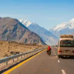
- From Gilgit: about 50 km on the Gilgit–Skardu road to Sassi village, taking 1 to 1.5 hours by jeep or car.
- From Skardu: about 150 km toward Gilgit to Sassi, taking 3 to 4 hours.
The Karakoram Highway has been broken in places, and the track between Sassi and Dassu is a nearly two-hour jeep ride on a rickety road that needs an experienced driver. Conditions may have changed, so ask your operator for current status. See our Karakoram Highway road trip and Islamabad to Gilgit road trip.
Best time to visit
May to September is the best season, when the weather is stable and the trails are open. The surrounding mountains can be unstable and avalanche-prone in May, and heavy rain can fall overnight. Early season trips can meet snow and swollen streams, and late season trips face colder nights. Check conditions with a local guide before you commit.
Weather
We could not find a reliable climate record for the Haramosh Valley, so we are not quoting monthly figures. Expect big temperature swings between day and night, rain at any time and cold conditions at the lake. Pack for all of them, and see our best time to visit Gilgit-Baltistan guide for regional patterns.
Places to visit on the Haramosh trek
Sassi and Dassu
Sassi is the trailhead, with horses and porters available. On the long route, travellers switch to a small wagon at Jaglot for the Sassi hydel power station, then take a jeep to Dassu, a small village at the start of the walk.
Iskere
Iskere is a large clearing among peaks including Dobani and Miar. Litter and overcrowding have been a problem at the campsite, so carry out all your rubbish.
Kutwal village and Mani Glacier
Kutwal is the village near the lake, and the Haramosh base camp is nearby. The route crosses a short stretch of ice and moraine below the Mani glacier, after which the lake is about 45 minutes away.
Kutwal Lake
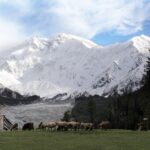
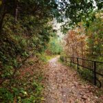
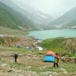
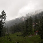
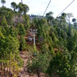
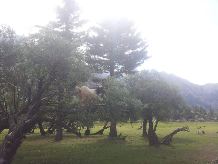
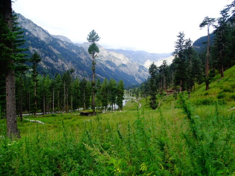
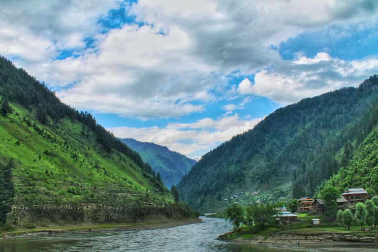
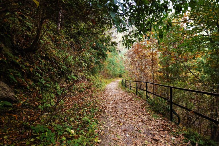
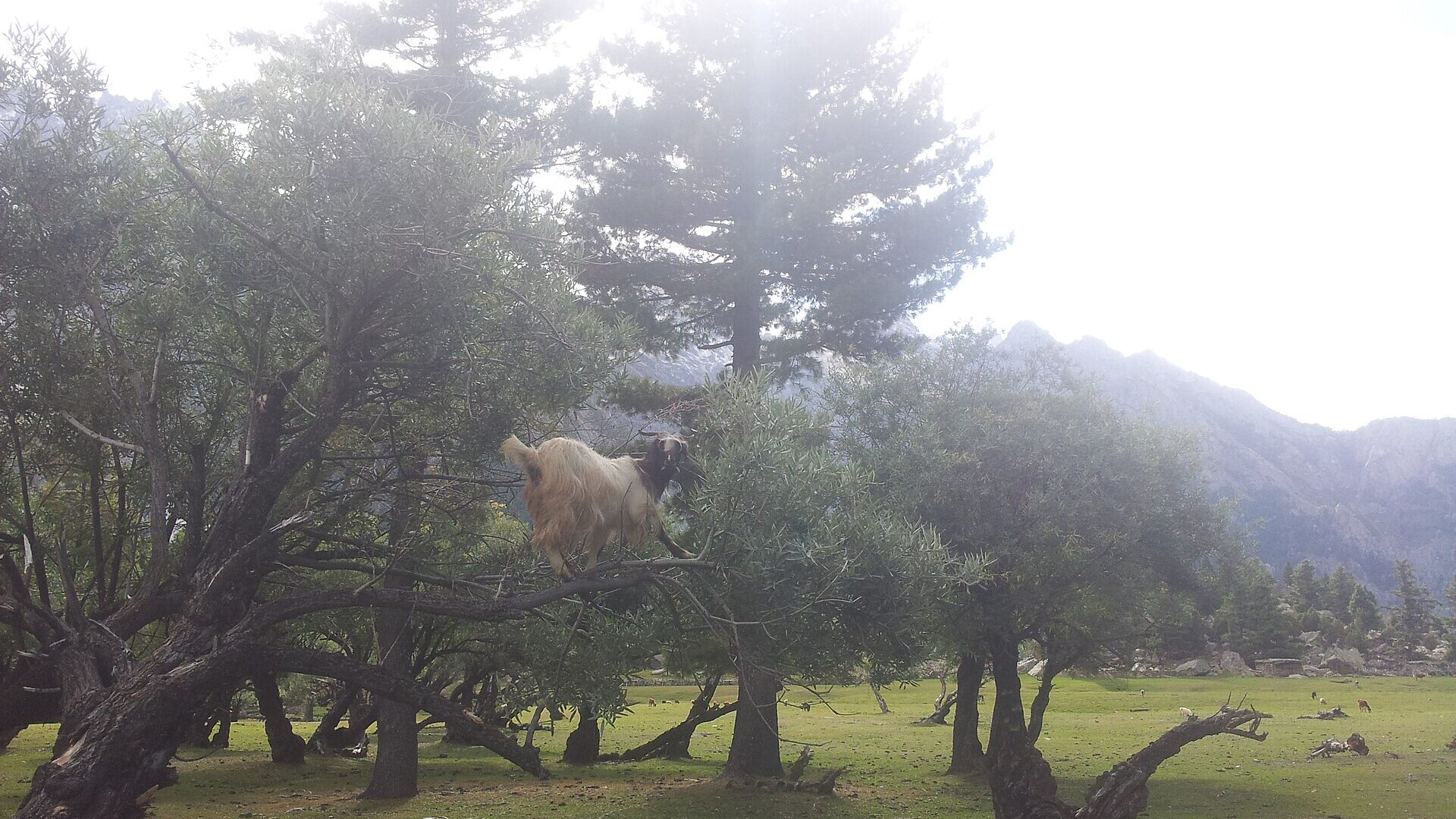
Alpine meadows suitable for camping lie around the lake, with forested paths, streams and wooden-roofed villages on the way. The area is home to ibex and marmots, with wildflowers in summer. Peaks seen from the lake include Mani, Haramosh and Haramosh La.
Trek stages compared
| Stage | Short route (from Sassi) | Long route (via Dassu) |
|---|---|---|
| Start | Sassi village | Jeep from Sassi to Dassu, about two hours |
| First leg | Through Iskere to Kutwal village | Dassu to Iskere, nearly 10 km |
| Second leg | Kutwal village to Kutwal Lake | Iskere to Kutwal, about 8 km, with the climb beginning |
| Total time | 5 to 7 hours from Sassi | Traditional itinerary of four days |
| Return | Not described | About 17 km and about 800 m of descent from Kutwal to Dassu |
The two accounts describe different starting points, so confirm the exact route, jeep availability and camp locations with your operator. For other options in the same region, see Rakaposhi Base Camp and Ultar Meadows.
Things to do
- Walk to Kutwal Lake and camp near the meadows.
- Watch for ibex and marmots, and for wildflowers in summer.
- Cross the Mani glacier moraine with a guide.
- Combine the trek with Gilgit, Hunza or Skardu, since the trailhead sits on the Gilgit–Skardu road.
Adventure activities
The Kutwal Lake trek is the main adventure here, and camping is the usual way to do it. Experienced mountaineers use the area for Haramosh La and the peak, which is a separate expedition. Read our camping spots in Pakistan and hiking trails in Pakistan guides.
Photography spots
The best subjects are the forested villages, the glacier crossing, the meadows near the lake and the view of Haramosh above it. Carry a rain cover for the camera, and ask before photographing local residents.
Where to stay
On the trek, camping is the standard option, using the meadows near Kutwal and the clearing at Iskere. Many groups camp at the lake, and the alpine meadows make ideal camping spots. We could not confirm any guesthouses on the trail, so assume you will need a tent. Before and after the trek, stay in Gilgit, Skardu or Hunza. Our best hotels in Hunza and best hotels in Skardu guides list options.
What to eat
Carry your own food for the trek, or arrange it through a guide. Guides often bring jeeps carrying the tent, food and utensils, and groups can buy a goat in Kutwal village. Boil or purify all water, and see our Hunza food guide for what to eat when you return to the valleys.
Transportation
Jeeps handle the Sassi–Dassu track, and horses and porters are available at Sassi. Arrange vehicles, porters and guides in advance, agree rates before you start and do not rely on being able to hire them at the last minute. Read our guide to hiring a guide.
Estimated costs
We have not verified current rupee rates for guides, porters, jeeps or permits, so we are not publishing figures. Budget for these items:
- Transport to Sassi, and the jeep to Dassu if your route uses it
- A guide, porters or horses, and camping gear if you do not own it
- Food and fuel for the trek
- Any permit or fee that applies to your route
See our trekking permits guide and permit fees guide, and confirm what applies to your route with your operator or Gilgit-Baltistan tourism.
Packing checklist
- A tent, sleeping bag rated for cold nights and a waterproof layer, since rain can leak into poorly pitched tents
- Tent connectors and repair items, in case of tent damage
- Sturdy waterproof boots and trekking poles for the moraine and stream crossings
- Water purification, a first-aid kit and your usual medicines
- A power bank and a printed copy of your route and contacts
See our northern Pakistan packing list.
Travel tips
- Hire a local guide. It is easy to lose the trail or take a wrong stream crossing.
- Give yourself buffer days, since flights and the Karakoram Highway can both be delayed.
- Take a rest day if your group is new to altitude.
- Check which route your operator will use, since the short and long routes start in different places.
Safety tips
- Avalanche and rockfall: The surrounding mountains can be unstable and avalanche-prone, so follow your guide’s route and avoid slopes after snow or heavy rain.
- Glacier crossing: the Mani moraine and ice crossing should be done with a guide, in good weather.
- Road: the Sassi–Dassu track is narrow and rough, so use an experienced driver.
- Altitude: read our altitude sickness guide, and descend if symptoms get worse.
- Weather: do not push on if rain or snow raises stream levels.
Responsible tourism
Litter and crowding have been noted at the Iskere camp, so pack out everything you carry in, including food waste and toilet paper. Use existing campsites, keep to the trail, do not disturb wildlife, buy supplies locally and pay porters and guides fairly.
Emergency contacts
Rescue 1122 and the police number 15 are the standard emergency lines in Pakistan, but confirm them locally. Mobile coverage is unlikely on most of the trek, so share your route and expected return with your operator or hotel, and carry a satellite messenger if your group has one.
Nearby attractions
Possible itinerary: 4-day Kutwal Lake trek from Gilgit
This plan follows the traditional four-day pattern. Confirm distances, camps and jeep timing with your operator, since the short route is a shorter walk from Sassi.
Day 1: Gilgit to Dassu to Iskere
- Drive about 50 km on the Gilgit–Skardu road to Sassi (1 to 1.5 hours).
- Take a jeep to Dassu, about two hours on a rough track.
- Walk about 10 km to the Iskere clearing and camp.
Day 2: Iskere to Kutwal Lake
- Walk about 8 km to Kutwal village as the climb begins.
- Cross the Mani glacier moraine with your guide. The lake is about 45 minutes beyond it.
- Camp near the lake and rest.
Day 3: Kutwal Lake to Iskere
- Spend the morning at the lake, then walk back to Iskere.
- Use this day as a buffer if weather turns.
Day 4: Iskere to Dassu and Sassi
- Descend to Dassu, then take the jeep to Sassi.
- Return to Gilgit or continue to Hunza or Skardu.
Frequently asked questions
How long is the Haramosh Valley Kutwal Lake trek?
The short route takes 5 to 7 hours from Sassi, while the traditional itinerary from Dassu takes four days with a rest day option. Ask your operator which route you will use.
Is the Kutwal Lake trek difficult?
It is rated moderate, with forested paths, streams and gradual ascents. The route also includes a glacier crossing and avalanche-prone slopes, so a guide is strongly advisable.
When is the best time for the Haramosh trek?
May to September.
How do you reach Sassi from Gilgit?
Drive about 50 km on the Gilgit–Skardu road, which takes 1 to 1.5 hours.
Do you need a permit for the Haramosh Valley?
We could not confirm a permit requirement for the Kutwal Lake trek. Check our permits guides and ask your operator or Gilgit-Baltistan tourism before you go.
How high is Haramosh Peak?
Haramosh Peak is 7,409 m. We could not confirm the elevation of Kutwal Lake.
Conclusion
The Haramosh Valley Kutwal Lake trek suits trekkers with some experience who want a quieter route from the Gilgit–Skardu road. Go between May and September, use a local guide, carry your own camping gear and buffer days, and confirm the route, permits and road conditions before you leave.
Trail, permit and road details change often and operators use different routes. Confirm current conditions with Gilgit-Baltistan tourism or your trekking operator.