
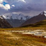
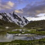
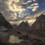
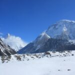

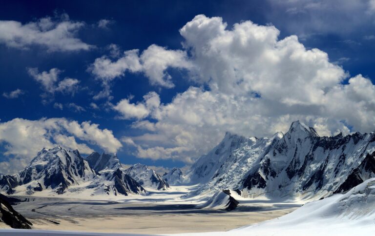


This Trango Towers travel guide explains where the granite spires of the Karakoram stand, how trekkers see them from the Baltoro Glacier, and what climbers need to know. The group rises on the north side of the Baltoro Glacier in Baltistan, Gilgit-Baltistan, and includes the Great Trango Tower at 6,286 metres and the famous Nameless Tower at about 6,239 metres. Most visitors see them on the way to Concordia and K2 Base Camp.
Quick answer: how do you see the Trango Towers?
You walk. The towers are not reachable by road. Fly or drive to Skardu, travel by jeep to Askole, then trek up the Baltoro Glacier. The cliffs come into view as the trail passes Paiju and continues toward Khoburtse and Urdukas, and they are a highlight of the K2 Base Camp route.
Trango Towers quick facts
| Detail | Trango Towers |
|---|---|
| Region | Baltoro Muztagh, Karakoram; Baltistan, Gilgit-Baltistan |
| Setting | North side of the Baltoro Glacier, between the Trango and Dunge glaciers |
| Highest point | Great Trango Tower, about 6,286 m |
| Trango (Nameless) Tower | About 6,239 m; some sources give 6,251 m |
| Other summits | Trango Monk about 5,850 m, Trango Pulpit about 6,050 m, Trango Castle about 5,753 m |
| Nameless Tower first ascent | July 1976, by a British team |
| Gateway town | Skardu, then Askole as the roadhead |
| Languages | Balti and Urdu; guides often speak English |
| Mobile coverage | None on most of the trek; arrange a satellite device through your operator |
Location
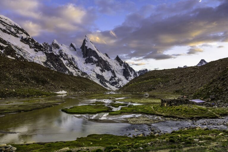
The Trango Towers form a ridge trending northwest to southeast, between the Trango Glacier on the west and the Dunge Glacier on the east. The group is part of the Baltoro Muztagh sub-range of the Karakoram. Trekkers see the towers from the Baltoro Glacier, and the clearest views are between Paiju and Khoburtse on the usual route to Concordia.
History
The Nameless Tower was first climbed on 8 July 1976 by Mo Anthoine and Martin Boysen, followed the next day by Joe Brown and Malcolm Howells. It later became a benchmark for hard big-wall climbing. A German team made the first free ascent in 1988, and the Eternal Flame route on the tower saw its first ascent in 1989 and its first free ascent in 2009. In May 2024 a team made the first ski descent of the Great Trango Tower. The towers are listed here for orientation, not as a trekking objective.
How to reach the Trango Towers
- Nearest airport: Skardu Airport, with weather-dependent flights from Islamabad. See our domestic flights guide.
- Nearest railway station: None in Gilgit-Baltistan; Rawalpindi is the usual rail starting point.
- Road access: Skardu to Askole by jeep, then on foot along the Baltoro Glacier. See road trip vs flight to Skardu.
Best time to visit and weather
Trekking and expedition traffic is concentrated in the summer months, roughly June to August. Late summer and early autumn have been used for rock climbing on southern faces, according to expedition reports. Weather in the Karakoram can change quickly. We do not publish temperature ranges, because they vary by altitude and week.
Places to see and things to do
- Baltoro Glacier viewpoints: the walking route gives close views of the towers. Our Baltoro Glacier trek guide covers the route.
- Concordia: the end point for most trekkers. See the Concordia trek guide.
- Climbing: a specialist activity for experienced big-wall teams and not a casual trip.
Photography spots
Early morning and late afternoon bring the strongest side light on the granite. A telephoto lens helps compress the towers against the glacier. Always ask porters and guides before taking close portraits.
Where to stay and what to eat
Hotels are in Skardu; see our Skardu hotels guide. From Askole you camp, and your operator provides meals. Local dishes in town are covered in our Skardu food guide.
Estimated costs
We do not publish PKR or USD figures because trek and expedition prices vary widely. Ask for a written quote that lists permits and fees, porters, guide, food, camping gear, transport and insurance. See our permit fees guide.
Packing checklist
- Warm layers, shell jacket and a cold-rated sleeping bag
- Broken-in boots and trekking poles
- Sun protection, gloves and a hat
- Water treatment and a personal first-aid kit
- Spare camera batteries
Travel tips
- Use a registered operator and see how to hire a guide.
- Check permit rules on our permits guide.
- Allow acclimatisation time; read the altitude sickness guide.
- Respect local customs; see our etiquette guide.
Safety tips
- Do not approach the towers off-route; rockfall and crevasses are real hazards.
- Carry insurance that covers high-altitude trekking and evacuation.
- Cross glacier streams with a guide and only in safe conditions.
- Climbing the towers is for experienced teams with the right permits.
Responsible tourism
Carry out all waste, use designated toilets and avoid damaging camps. Pay porters fairly and make sure they have proper clothing and shelter.
Emergency contacts
Your operator should hold current rescue and communication plans. We do not publish phone numbers because they change; confirm them before departure.
Possible itinerary
- Day 1: Arrive in Skardu and sort permits and gear.
- Day 2: Jeep to Askole.
- Days 3 to 5: Trek via Jhola to Paiju, with a rest day if needed.
- Day 6: Walk toward Khoburtse and Urdukas with views of the Trango Towers.
- Next days: Continue to Concordia or turn back, depending on your plan.
Frequently asked questions
Where are the Trango Towers?
On the north side of the Baltoro Glacier in the Karakoram, in Baltistan, Gilgit-Baltistan.
How high is the Great Trango Tower?
About 6,286 metres, the highest point in the group.
What is Nameless Tower?
Another name for Trango Tower, about 6,239 metres, first climbed in 1976.
Can trekkers see the Trango Towers?
Yes. They are visible from the Baltoro Glacier trail on the way to Concordia.
Do I need a permit?
Trekking and climbing in this area require permits through a registered operator. Confirm the current rules.
Nearby attractions and related guides
Conclusion
The Trango Towers are one of the great sights on the Baltoro route. Plan the trek with a registered operator, allow time to acclimatise and leave climbing to experienced teams.
Sources and official information
Last reviewed October 2026. Permits, fees and conditions change; verify before you travel.